Lapland Alpine & high mountainAurora & night skyWandern in den Bergen
Saariselkä
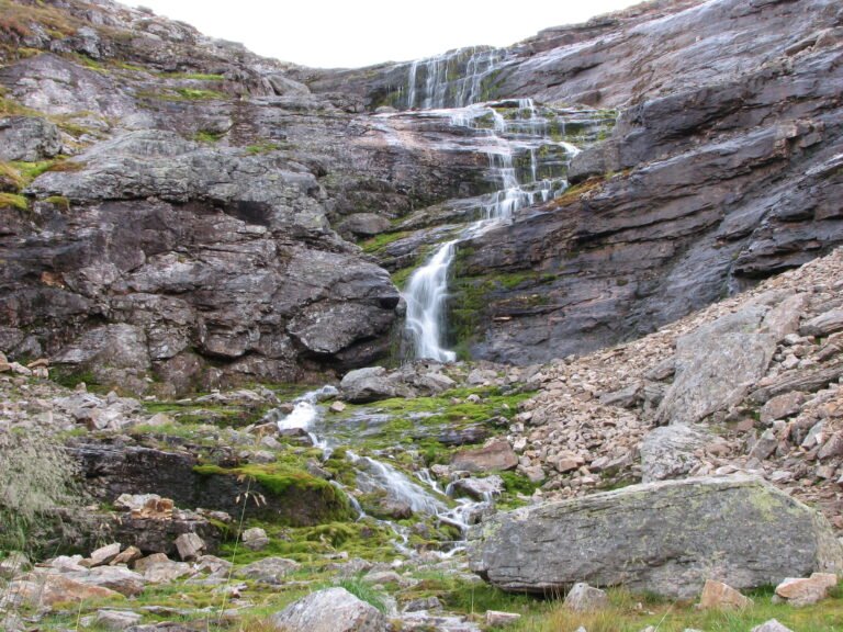
Granulite two billion years old
Foto von M.P., User:Argus_fin auf Wikimedia Commons
Noch nicht auf Deutsch verfügbar. Angezeigt wird die Fassung auf Englisch.
Über Saariselkä
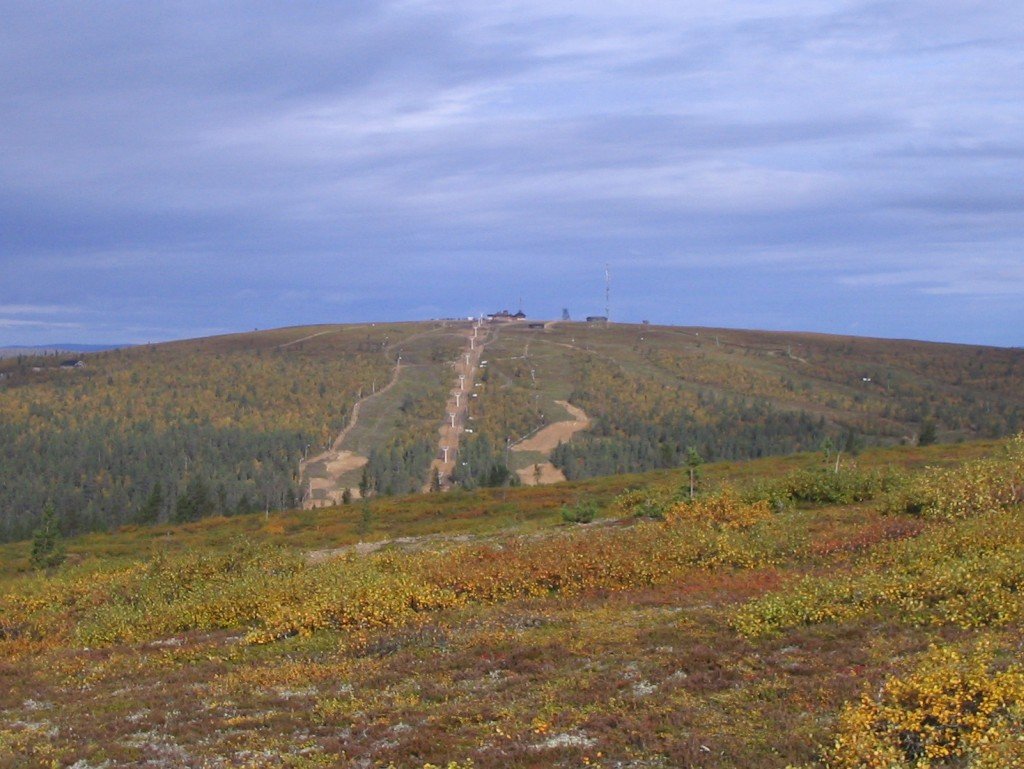
A fell area rising to 718 metres at Sokosti, made mostly of granulite two billion years old, where the last ice age ended some 9,500 years ago. Part of it lies inside Urho Kekkonen National Park. One stretch of the former Highway 4 here is still called Magnetic Hill: during the war the road from Rovaniemi to Petsamo was Finland’s only route to the ocean, and the slopes beside Kaunispää were so steep that 1940s trucks lost power climbing them, which people put down to some magnetism in the hill.
Ansehen
Lesen und planen
In der Nähe, über Grenzen hinweg
Im Umkreis von 60 km um diesen Ort, in jedem Land.