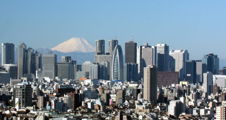
Mount Takao
599 metres, an hour from downtown Tokyo
Foto von Guilhem Vellut from Annecy, France auf Wikimedia Commons
Noch nicht auf Deutsch verfügbar. Angezeigt wird die Fassung auf Englisch.
Über Mount Takao
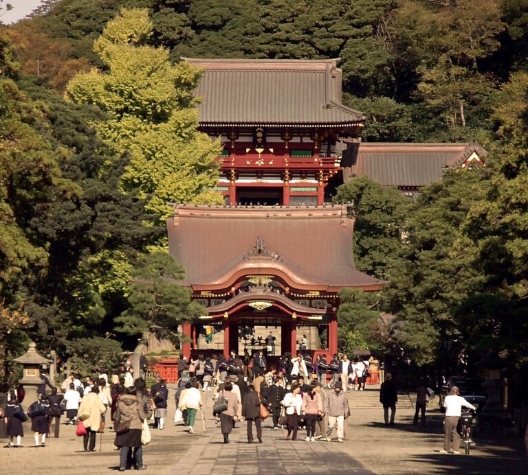
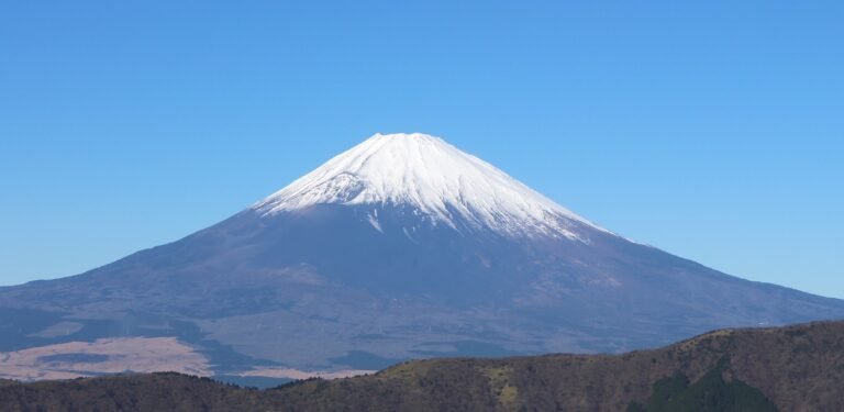
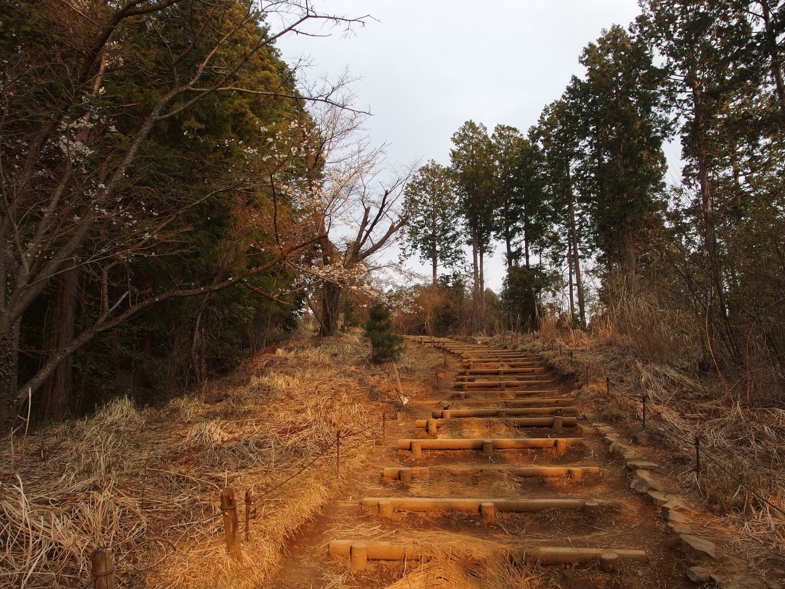
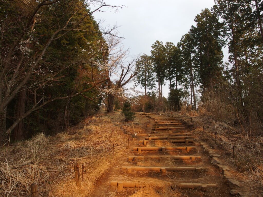
A mountain in the city of Hachiōji, within an hour of downtown Tokyo and protected inside the Meiji no Mori Takao Quasi-National Park. It stands 599 metres, carries eight hiking trails, and takes more than 2.5 million visitors a year. The walk to the top averages 90 minutes, though a funicular or a ropeway covers half of it. The mountain is closely associated with the tengu of Japanese folklore, and with Shugendō, the mountain asceticism built on strict discipline. Takaosan Yakuōin Yūkiji, a temple of the Shingon sect, stands on it, and people come to pray to the tengu for good fortune.
Ansehen
Lesen und planen
In der Nähe, über Grenzen hinweg
Im Umkreis von 60 km um diesen Ort, in jedem Land.