Kamakura
The shogun's capital, 1185 to 1333
Foto von Fg2 auf Wikimedia Commons
Noch nicht auf Deutsch verfügbar. Angezeigt wird die Fassung auf Englisch.
Über Kamakura
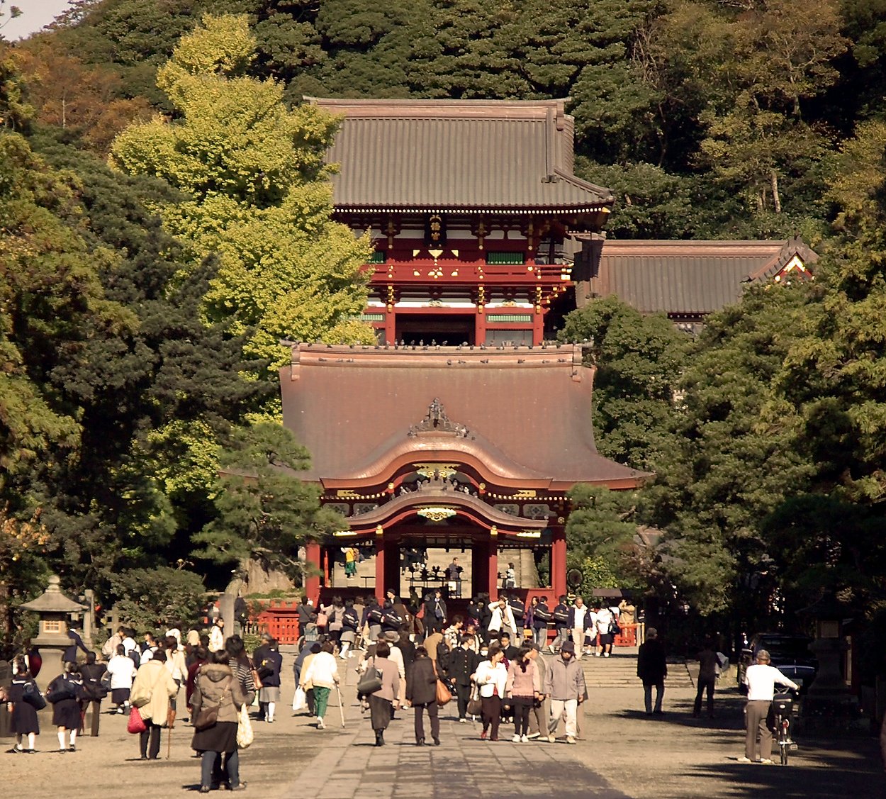
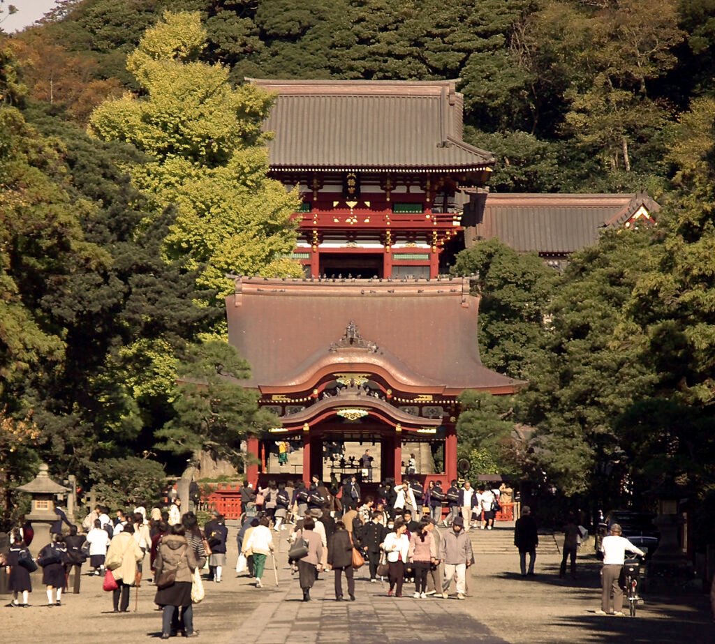
A city in Kanagawa Prefecture of about 172,929 people, packed into 39.67 square kilometres at 4,359 to the square kilometre. It was Japan’s de facto capital between 1185 and 1333 as the seat of the Kamakura shogunate, established by Minamoto no Yoritomo and the first military government in the country’s history. It declined when the shogunate fell, then found a second life as a destination for the townspeople of Edo. The Great Kantō Earthquake of 1923 cost it a great deal of its historical and cultural fabric, but Tsurugaoka Hachimangū and the Great Buddha of Kamakura still stand.
Ansehen
Lesen und planen
In der Nähe, über Grenzen hinweg
Im Umkreis von 60 km um diesen Ort, in jedem Land.