Alentejo Festungen und militärisches ErbeHistorische StadtUrgeschichte und Archäologie
Monsaraz
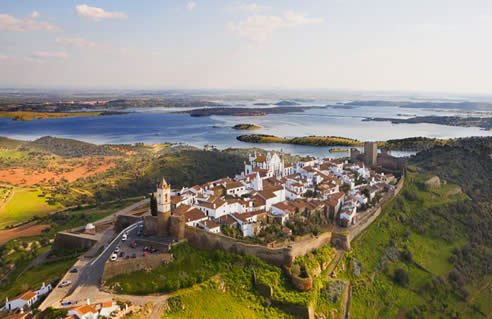
A hilltop village above the Guadiana
Foto von Hurtuv auf Wikimedia Commons
Noch nicht auf Deutsch verfügbar. Angezeigt wird die Fassung auf Englisch.
Über Monsaraz
Monsaraz is a civil parish of the municipality of Reguengos de Monsaraz, standing above the right bank of the Guadiana in the Alentejo close to the Spanish border. The population was 782 in 2011, across 88 square kilometres. The hilltop has been occupied since prehistory, its position making it consequential far beyond its size. Inside the walls it is one long whitewashed street with a castle at the end; outside them, the reservoir below and the surrounding plain make this one of the darkest night skies in Europe.
Ansehen
Lesen und planen
In der Nähe, über Grenzen hinweg
Im Umkreis von 60 km um diesen Ort, in jedem Land.