Valais Alpine & high mountainGlacier & iceWandern in den Bergen
Matterhorn
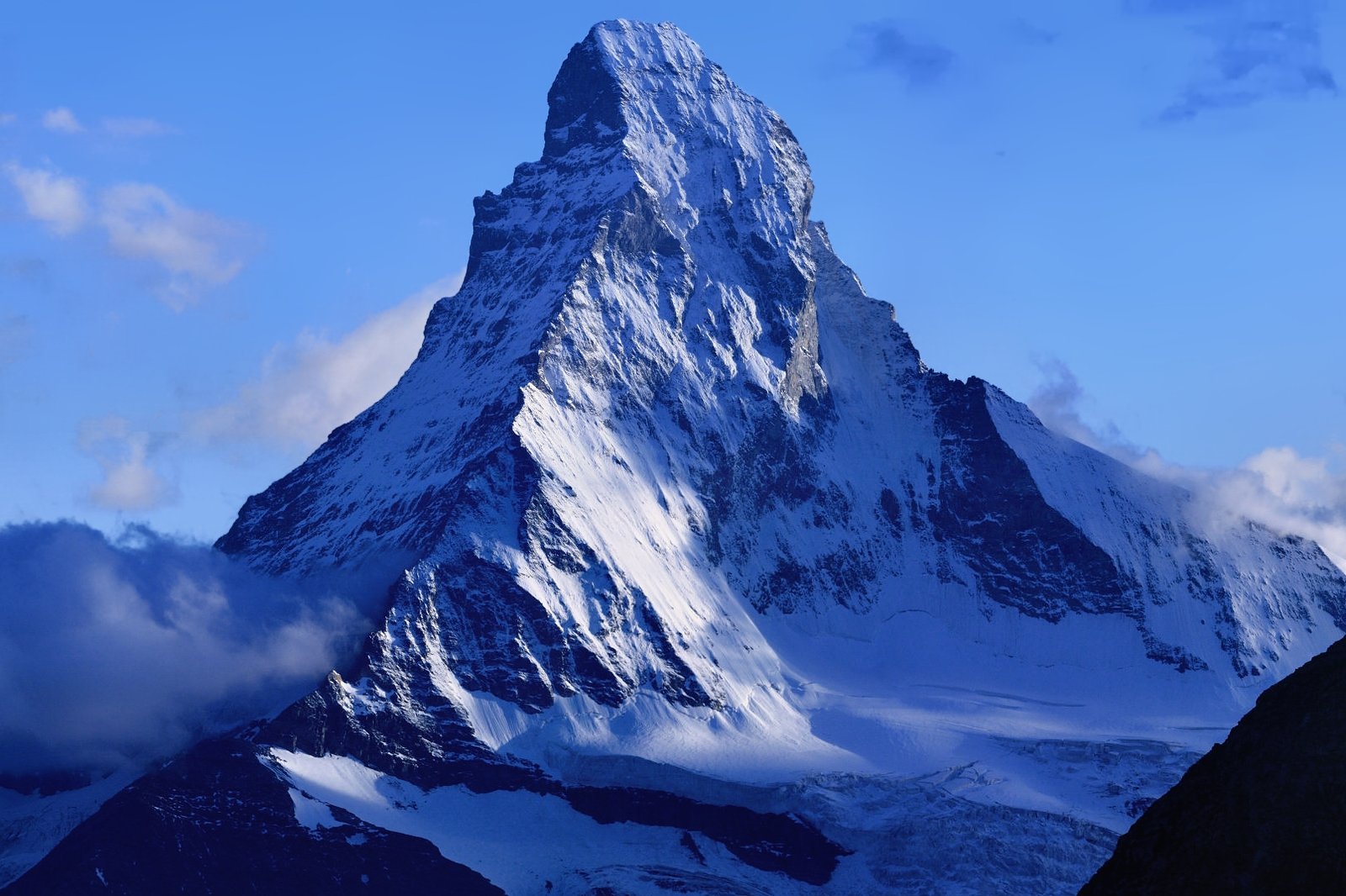
Four faces, four cardinal points
Foto von Photo: chil, on Camptocamp.org Derivative work: Zacharie Grossen auf Wikimedia Commons
Noch nicht auf Deutsch verfügbar. Angezeigt wird die Fassung auf Englisch.
Über Matterhorn
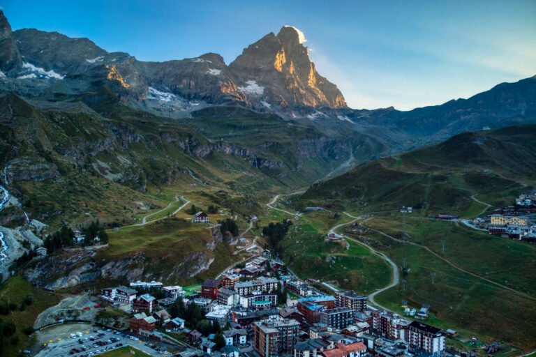
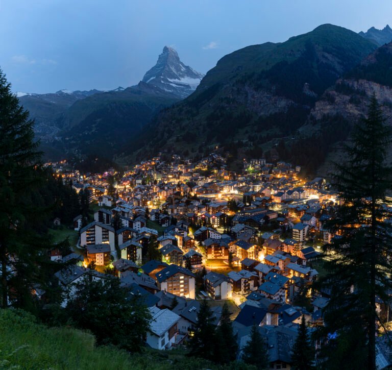
A near-symmetric pyramid rising to 4,478 metres on the watershed between Switzerland and Italy, and about as close to a national emblem as a mountain gets. It has four faces, each roughly facing a cardinal point (north, east and west on the Swiss side, south on the Italian) separated by the Hörnli, Furggen, Zmutt and Leone ridges, all of them rising straight out of the glaciers below. Zermatt lies to the northeast and Breuil-Cervinia to the south, with the Theodul Pass between them.
Ansehen
Lesen und planen
In der Nähe, über Grenzen hinweg
Im Umkreis von 60 km um diesen Ort, in jedem Land.