Valais Alpine & high mountainGlacier & iceScenic route
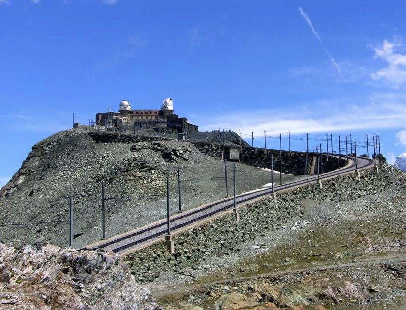
Gornergrat
Twenty-nine peaks over 4,000 metres
Foto von Johnw auf Wikimedia Commons
Noch nicht auf Deutsch verfügbar. Angezeigt wird die Fassung auf Englisch.
Über Gornergrat
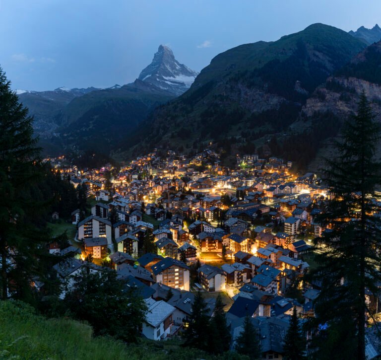
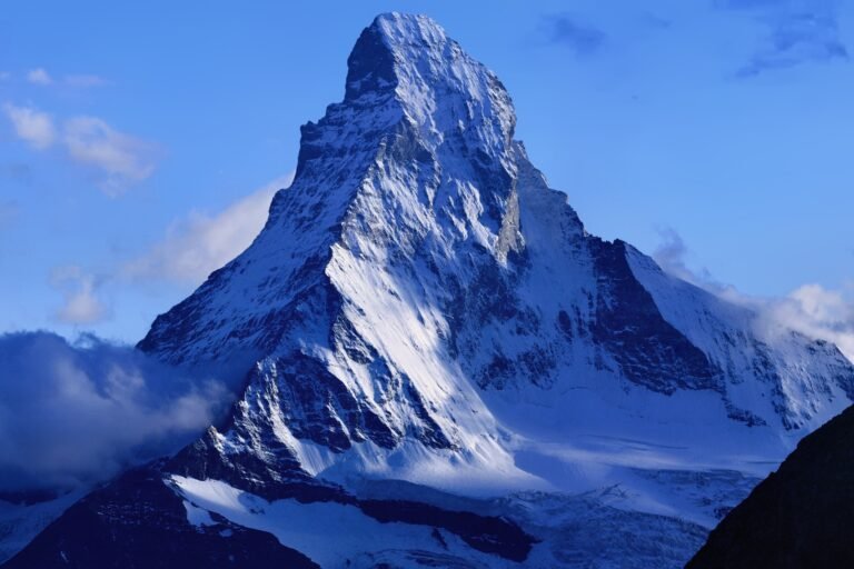
A rocky ridge at 3,135 metres between the Gorner and Findel glaciers, three kilometres east of Zermatt, with a panorama taking in twenty-nine mountains over 4,000 metres, the Dufourspitze, Liskamm, Matterhorn, Dom and Weisshorn among them. The rack railway that reaches it opened in 1898 and climbs almost 1,500 metres through Riffelalp and Riffelberg; it is the highest open-air railway in Europe. The Kulm Hotel stands just above the station, and in the late 1960s two astronomical observatories were installed in its towers.
Ansehen
Lesen und planen
In der Nähe, über Grenzen hinweg
Im Umkreis von 60 km um diesen Ort, in jedem Land.