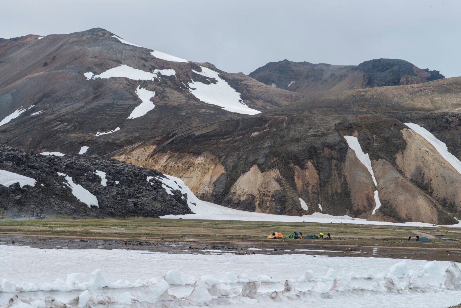
Landmannalaugar
Hot springs at the head of the Laugavegur
Foto von Anjali Kiggal auf Wikimedia Commons
Noch nicht auf Deutsch verfügbar. Angezeigt wird die Fassung auf Englisch.
Über Landmannalaugar
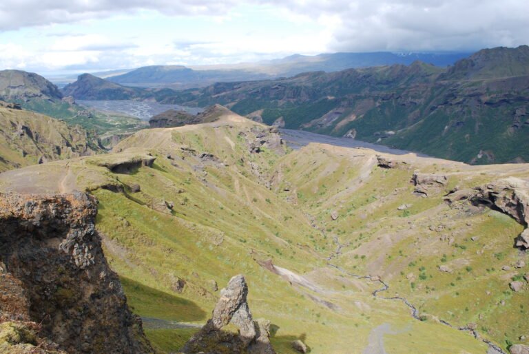
Geothermal hot springs on the edge of the Laugahraun lava field, which an eruption laid down around 1477, inside the Fjallabak Nature Reserve in the Highland. It stands at the northern end of the Laugavegur trail, and the Iceland Touring Association keeps a mountain hut here. Walks run from an hour up Bláhnjúkur, the blue peak, to four hours out to the Ljótipollur crater lake, ugly puddle, and across the lava to Brennisteinsalda, the sulphur wave. Longer routes start here too, including the Sprengisandur crossing for anyone willing to walk through volcanic desert.
Ansehen
Lesen und planen
In der Nähe, über Grenzen hinweg
Im Umkreis von 60 km um diesen Ort, in jedem Land.