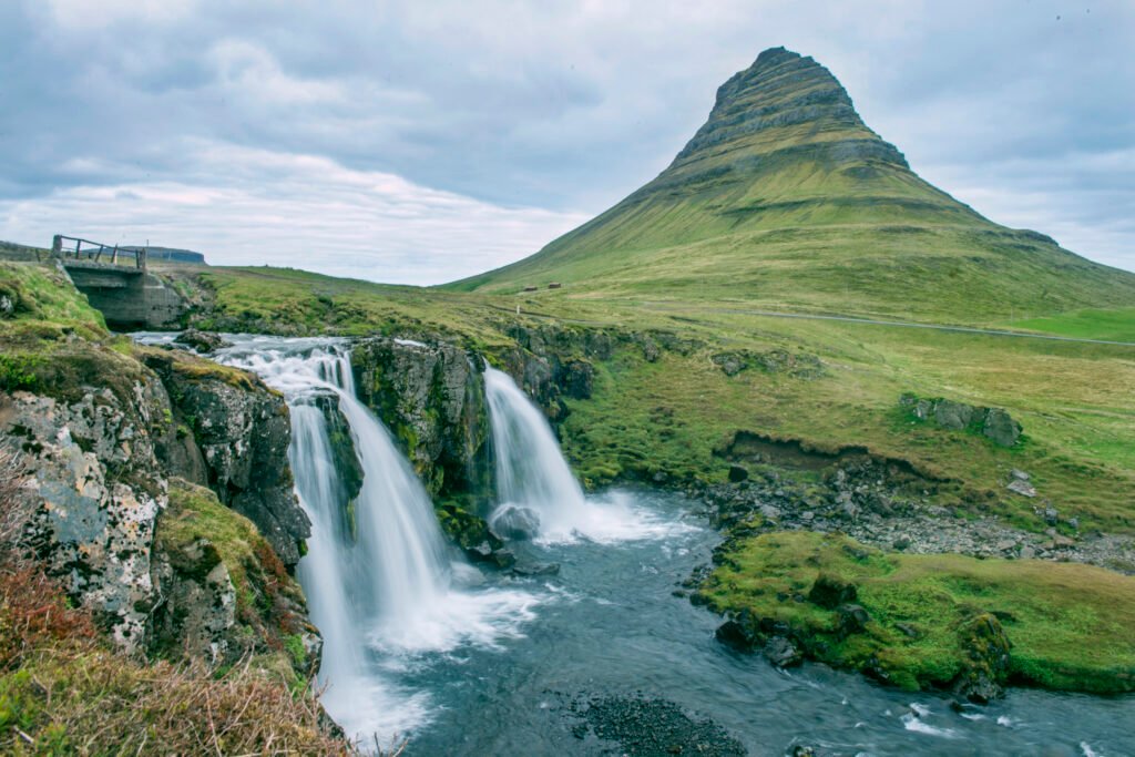
Kirkjufell
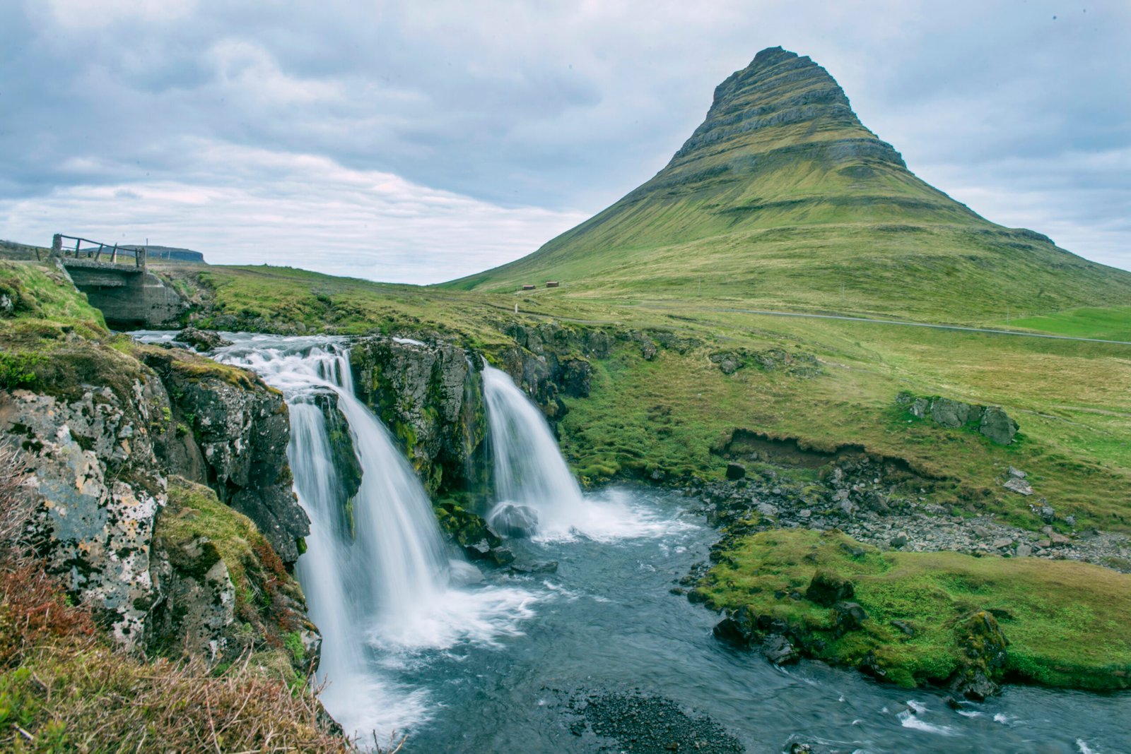
Iceland's most photographed mountain
Foto von Anjali Kiggal auf Wikimedia Commons
Noch nicht auf Deutsch verfügbar. Angezeigt wird die Fassung auf Englisch.
Über Kirkjufell
A hill of 463 metres on the north coast of Snæfellsnes, claimed to be the most photographed mountain in Iceland, and made more so by Game of Thrones, where it served as the arrowhead mountain north of the Wall. It contains volcanic rock but is not a volcano: it is a nunatak, a peak that stood above the ice sheets of the Ice Age, built of alternating Pleistocene lava and sandstone with tuff at the top. The climb takes about three hours in summer or autumn, and the steep sections turn dangerous when wet; falls killed climbers in 1945, 2017, 2018 and 2022.
Ansehen
Lesen und planen
In der Nähe, über Grenzen hinweg
Im Umkreis von 60 km um diesen Ort, in jedem Land.