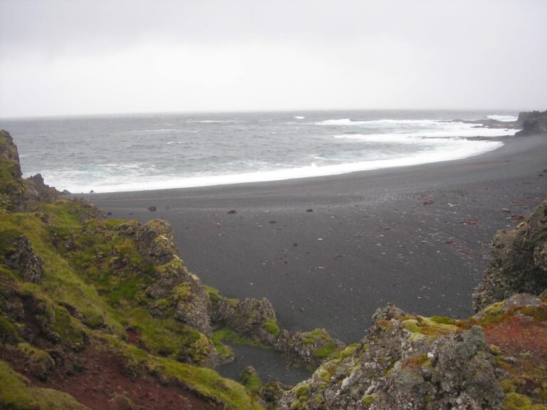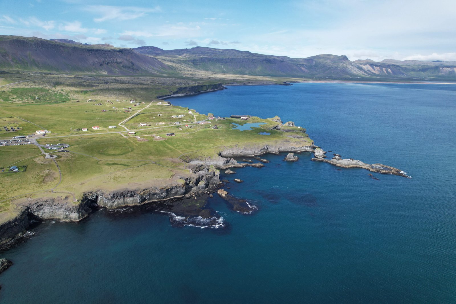
Arnarstapi
A saga coast, and a Danish prefect's house
Foto von Steinninn auf Wikimedia Commons
Noch nicht auf Deutsch verfügbar. Angezeigt wird die Fassung auf Englisch.
Über Arnarstapi
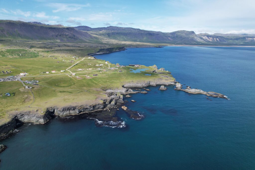
A small fishing and tourist village at the foot of Stapafell on the southern side of Snæfellsnes, whose placenames come out of Bárðar saga Snæfellsáss, the story of Bárður, half human and half ogre. Small vessels could land here easily, so it became a busy fishing port and the commercial centre for the west coast under the Danish crown, with a trade monopoly in force from 1565 and crown agents holding custodial power through the seventeenth and eighteenth centuries. Several old houses survive, among them the Amtmannshús, the Danish prefect’s residence, moved away in 1849, brought back in 1985 and protected in 1990.
Ansehen
Lesen und planen
In der Nähe, über Grenzen hinweg
Im Umkreis von 60 km um diesen Ort, in jedem Land.