Goðafoss
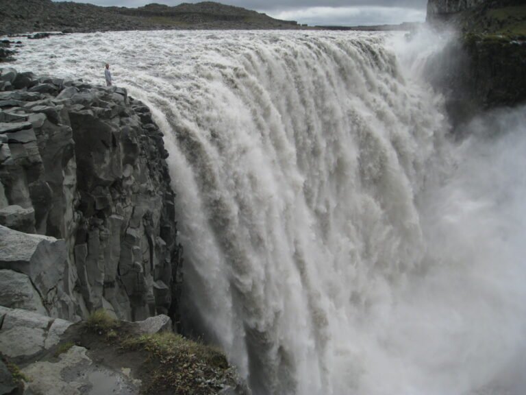
The waterfall of the gods, or of the chieftain
Foto von Chensiyuan auf Wikimedia Commons
Noch nicht auf Deutsch verfügbar. Angezeigt wird die Fassung auf Englisch.
Über Goðafoss
Twelve metres of drop across thirty metres of width on the Skjálfandafljót, at the junction of the ring road and the Sprengisandur highland route. The name can be read as waterfall of the gods or of the chieftain, and the popular story, that the lawspeaker Þorgeir Ljósvetningagoði threw his statues of the Norse gods in after making Christianity the official religion in 999 or 1000, appears to be a nineteenth-century invention, first published in Denmark in 1879–82 and absent from Íslendingabók. A window in Akureyrarkirkja illustrates it anyway. A placename scholar suggests two crags resembling idols gave the falls their name.
Ansehen

Lesen und planen
In der Nähe, über Grenzen hinweg
Im Umkreis von 60 km um diesen Ort, in jedem Land.