Dettifoss
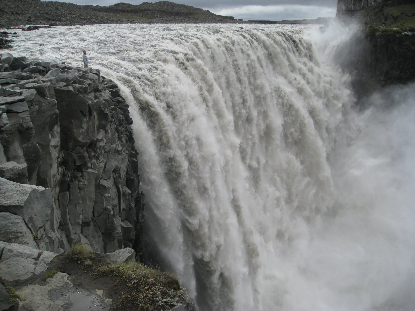
193 cubic metres a second into a canyon
Foto von Tbc auf Wikimedia Commons
Noch nicht auf Deutsch verfügbar. Angezeigt wird die Fassung auf Englisch.
Über Dettifoss
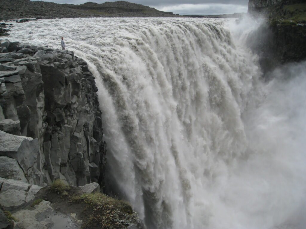
A hundred metres wide with a drop of forty-four into the Jökulsárgljúfur canyon, fed by the Jökulsá á Fjöllum running off Vatnajökull, and carrying so much sediment that the water runs greyish white. By volume it is the second largest waterfall in Iceland after Urriðafoss, averaging 193 cubic metres a second; the claim that it is the second most powerful in Europe after the Rhine Falls comes from multiplying that flow by the height of the fall. A tarmac road of 2011 serves the west bank in most seasons; the older gravel road to the east is usually a summer proposition.
Ansehen
Lesen und planen
In der Nähe, über Grenzen hinweg
Im Umkreis von 60 km um diesen Ort, in jedem Land.