Highlands & Islands Alpine & high mountainWald und LandgutNationalpark
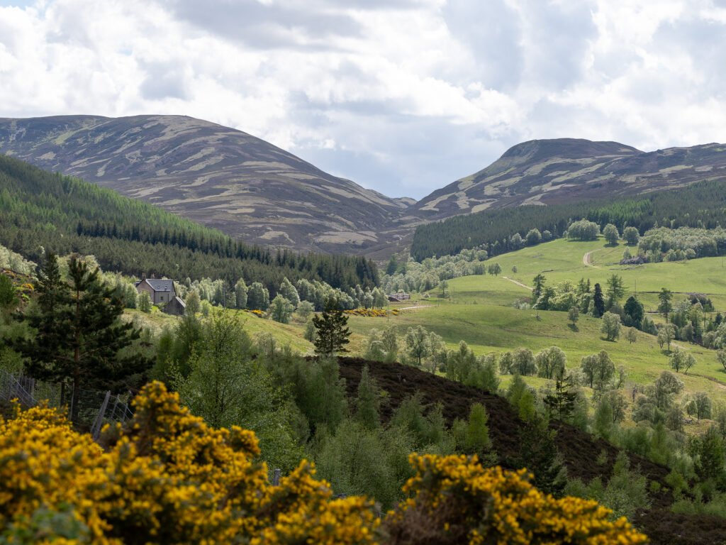
Cairngorms National Park
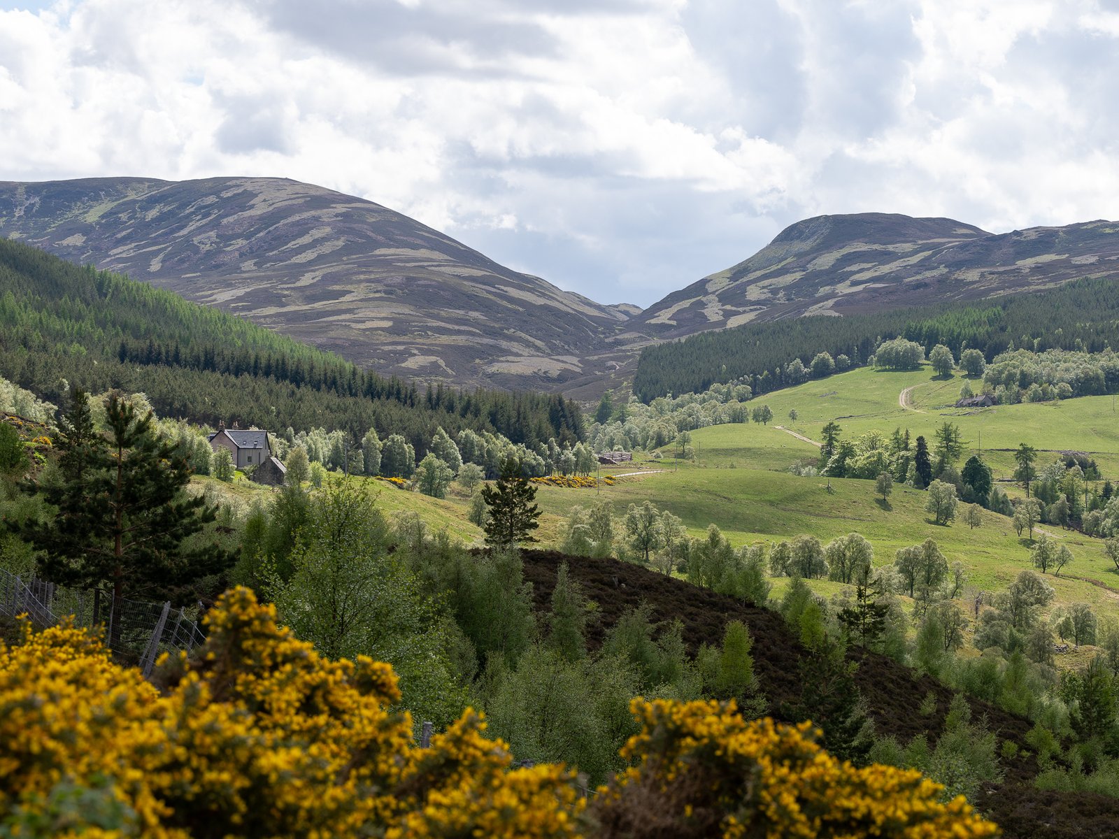
The largest national park in the UK
Foto von Thomas Andy Branson auf Wikimedia Commons
Noch nicht auf Deutsch verfügbar. Angezeigt wird die Fassung auf Englisch.
Über Cairngorms National Park
The largest national park in the United Kingdom (4,528 square kilometres across five council areas, established in 2003 and extended into Perth and Kinross in 2010) with only about 18,000 people living in it, in Aviemore, Ballater, Braemar, Grantown-on-Spey, Kingussie, Newtonmore and Tomintoul. Inside its boundaries are several national nature reserves, among them Abernethy Forest and the Mar Lodge Estate, which hold a stricter international protection status than the park itself. It took 1.9 million tourism visits in 2018, and tourism is about 80 per cent of the local economy.
Ansehen