Bovec
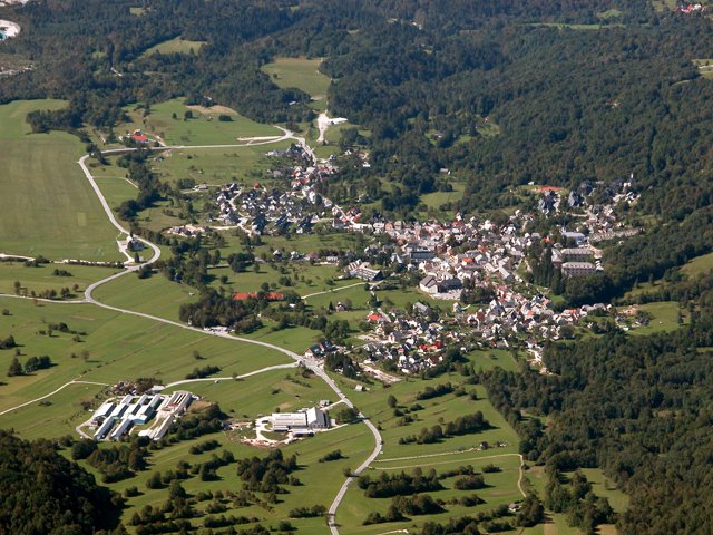
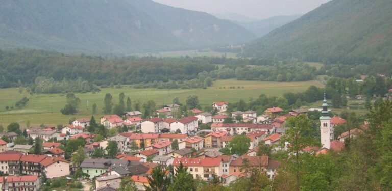
Under Mount Kanin, on the upper Soča
Foto von Damjanleban at Slovenian Wikipedia auf Wikimedia Commons
Noch nicht auf Deutsch verfügbar. Angezeigt wird die Fassung auf Englisch.
Über Bovec
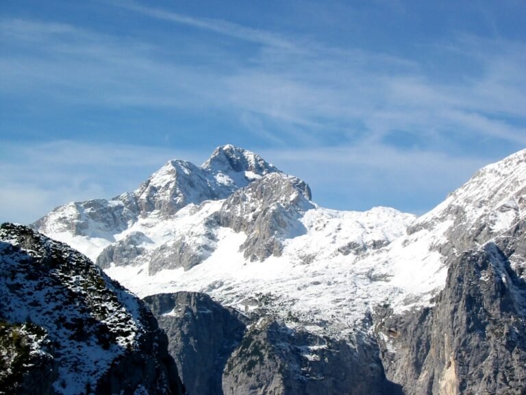
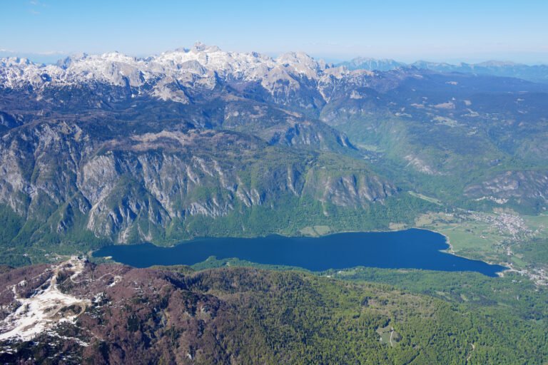
A town at 434 metres in the Bovec Basin of the upper Soča, below the eastern slopes of Mount Kanin, which forms the border with Italy; the Trenta Valley leads northwest from here into Triglav National Park. It was attested in 1070 as Plecium, and through the twelfth and thirteenth centuries the name covered not just the settlement but the whole Upper Soča region including Trenta. Traditionally part of the historic Goriška region, locals now identify with the wider Slovene Littoral.
Ansehen
Lesen und planen
In der Nähe, über Grenzen hinweg
Im Umkreis von 60 km um diesen Ort, in jedem Land.
Ruhiger in der Nähe
Weitere Orte anderer Art im Umkreis von 60 km.