Upper Carniola Alpine & high mountainWandern in den BergenNationalpark
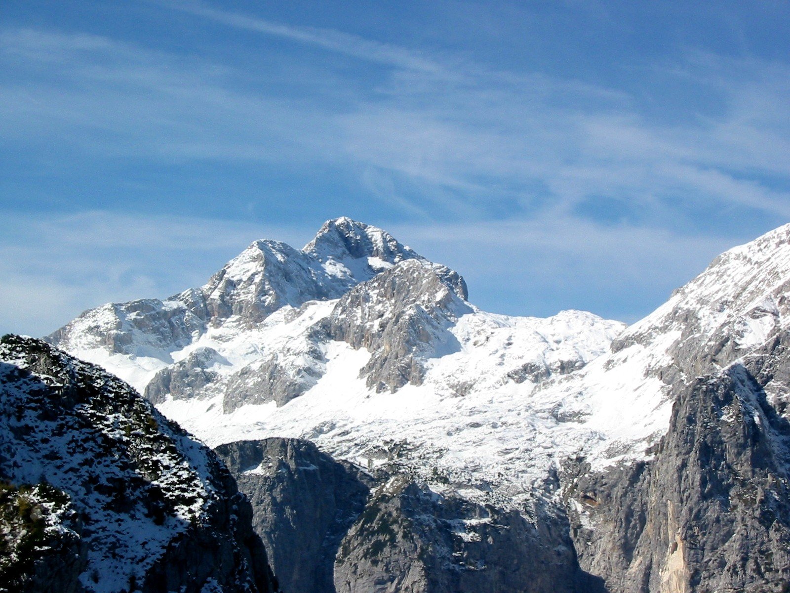
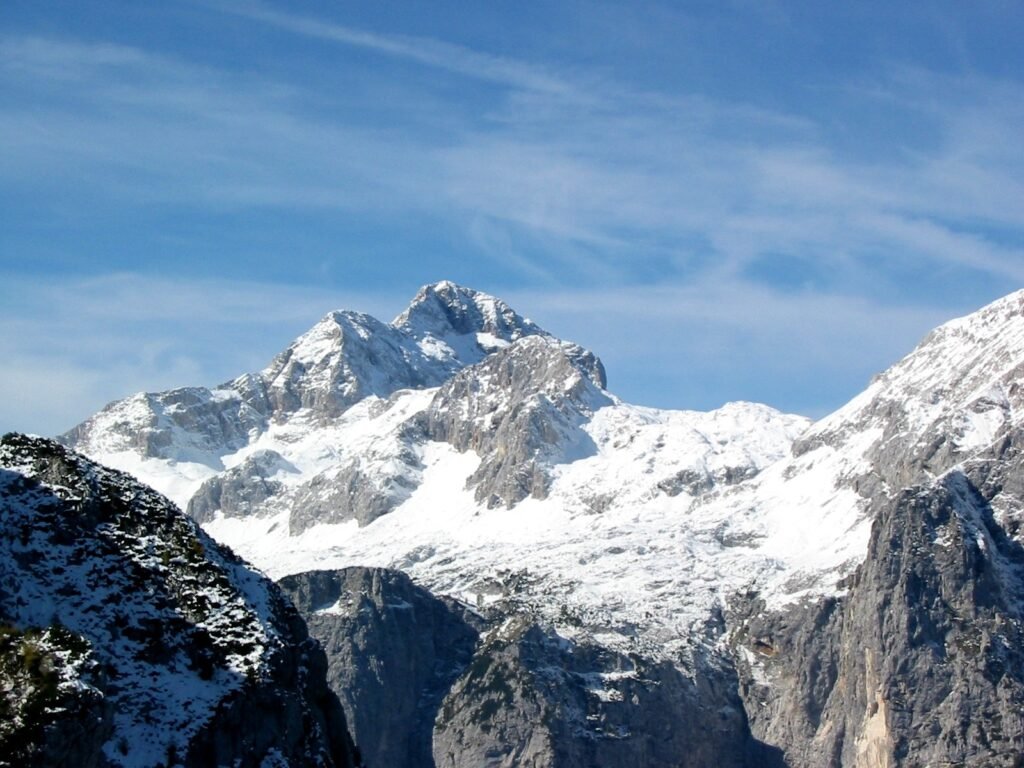
Triglav
On the coat of arms and on the flag
Foto von Andrej Jakobčič auf Wikimedia Commons
Noch nicht auf Deutsch verfügbar. Angezeigt wird die Fassung auf Englisch.
Über Triglav
At 2,863 metres the highest mountain in Slovenia and the highest peak of the Julian Alps, and, before independence in 1991, the highest in Yugoslavia. It is the pre-eminent symbol of the nation, appearing on both the coat of arms and the flag, and the saying goes that every true Slovene should stand on the summit once in their life. The name is old: a map of 1567 gave it the Latin Ocra mons, Valvasor called it Krma in the later seventeenth century, and Terglau appears in writing from 1452.
Ansehen
Lesen und planen
In der Nähe, über Grenzen hinweg
Im Umkreis von 60 km um diesen Ort, in jedem Land.
Ruhiger in der Nähe
Weitere Orte anderer Art im Umkreis von 60 km.