Gulf South Coastal & dune walkingIsland & archipelagoScenic route
Florida Keys
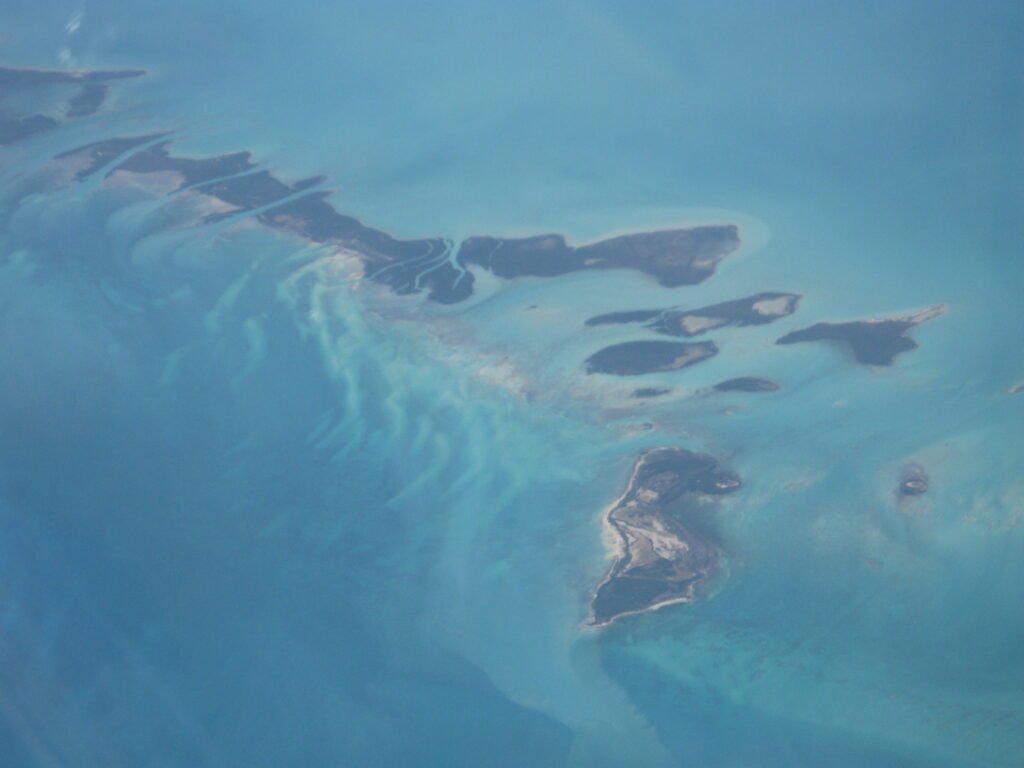
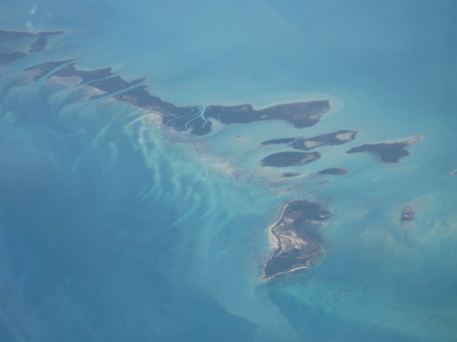
A coral cay archipelago out to Key West
Photograph by José Astacio on Wikimedia Commons
About Florida Keys
A coral cay archipelago forming the southernmost part of the continental United States, beginning about fifteen miles south of Miami and curving south-southwest then west to Key West and on to the uninhabited Dry Tortugas. The islands lie along the Florida Straits, dividing the Atlantic from the Gulf of Mexico and marking one edge of Florida Bay. The southern part of Key West is ninety-three miles from Cuba. Total land area is only 137.3 square miles, spread thin across that long arc.
Watch