Gulf South Coastal & dune walkingFortress & military heritageIsland & archipelago
Gulf Islands National Seashore
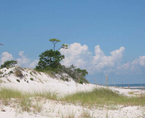
White quartz sand across three states
Photograph by National Park Service on Wikimedia Commons
About Gulf Islands National Seashore
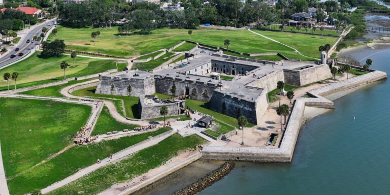
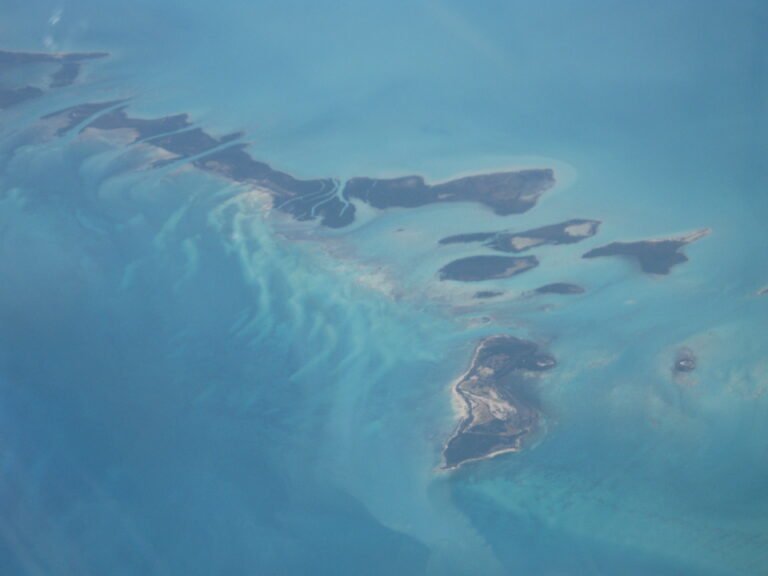
A national seashore along the Gulf barrier islands of Florida, Alabama and Mississippi, mainland areas and parts of seven islands, and in 2024 the sixth-most visited unit of the National Park Service. The Florida district has offshore barrier islands with white quartz sand along miles of undeveloped shore, historic fortifications and nature trails; the Perdido Key Historic District preserves shore batteries active in both world wars, and the mainland near Pensacola holds the Naval Live Oaks Reservation and military forts.
Watch