Upper Austria & Salzkammergut Alpine & high mountainCave & undergroundGlacier & ice
Dachstein Mountains
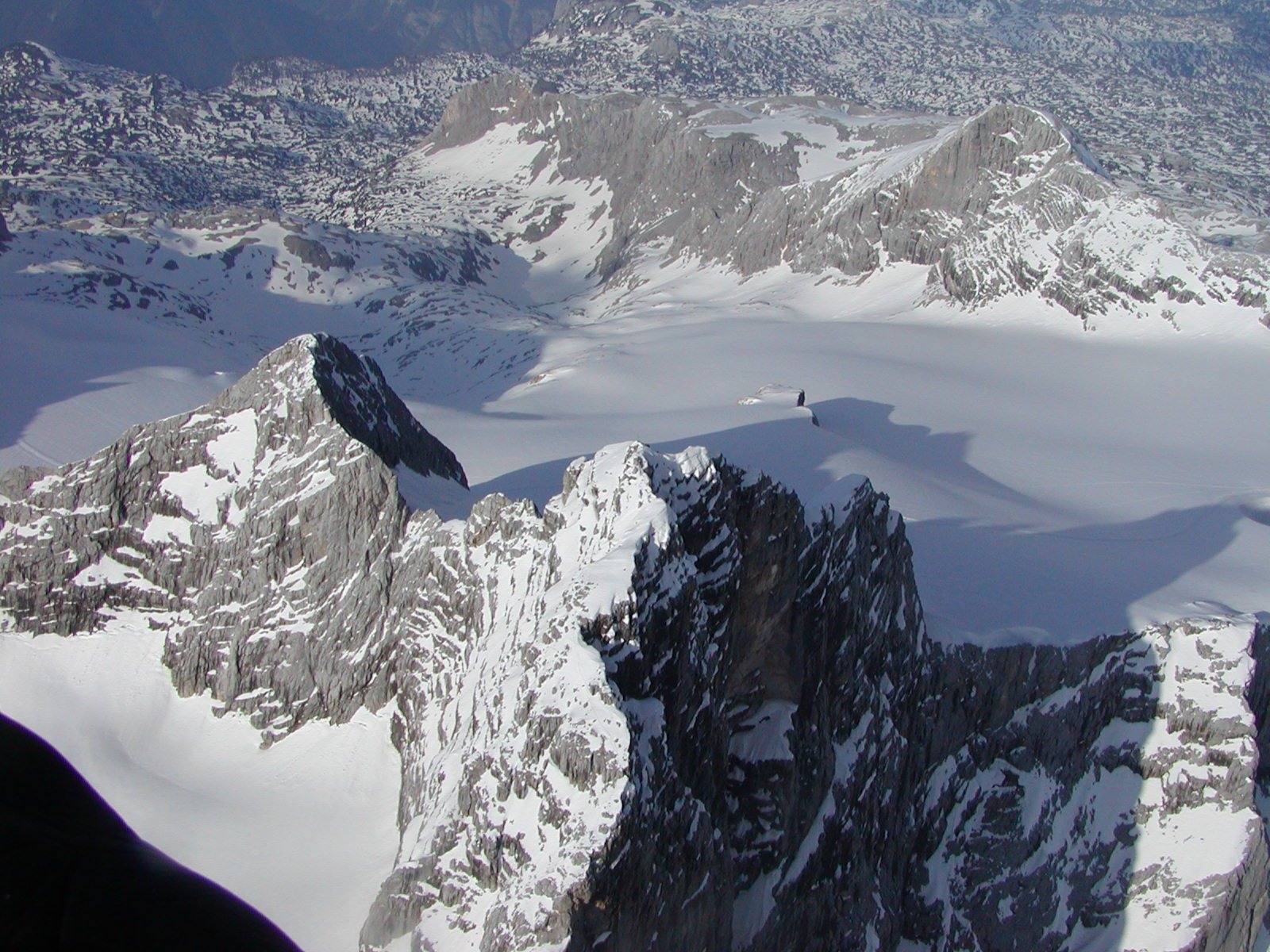
The Hoher Dachstein, at 2,995 metres
Photograph by Ralph Deleja-Hotko = de:Benutzer:Aerotiker on Wikimedia Commons
About Dachstein Mountains
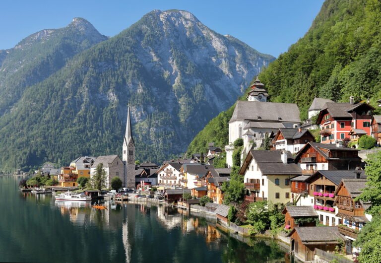
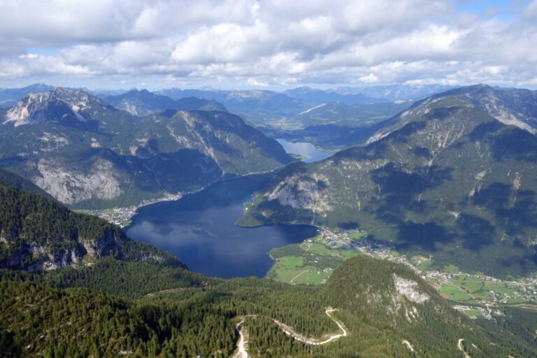
A range of the Northern Limestone Alps, counted by the Austrian Alpine Club as one of the twenty-four sub-ranges of that group. It takes in the Dachstein Massif proper, whose highest peak is the Hoher Dachstein at 2,995 metres, along with the Grimming at 2,351 metres to the east above the upper Enns valley, and the Sarstein at 1,975 to the north across the Traun. The Totes Gebirge lies northeast beyond a line of passes and valleys, and the Niedere Tauern to the south across the Enns.
Watch
Read and plan
Nearby, across borders
Within 60 km as the crow flies, in any country.