Carinthia Alpine & high mountainGlacier & iceHill walking
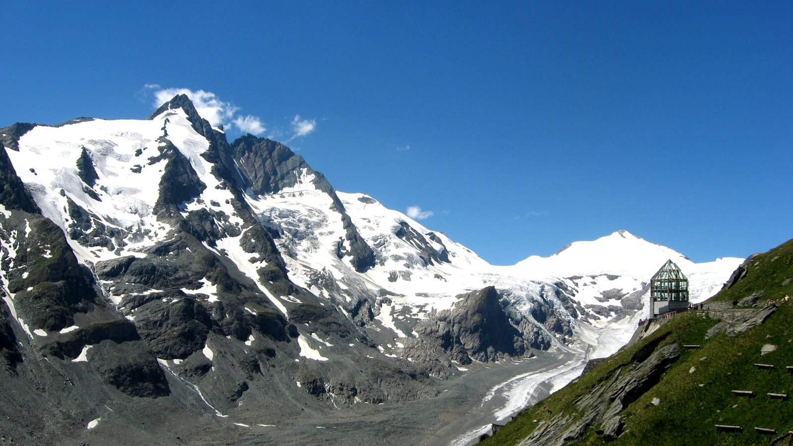
Grossglockner
Austria's highest, at 3,798 metres
Photograph by Michieliosios on Wikimedia Commons
About Grossglockner
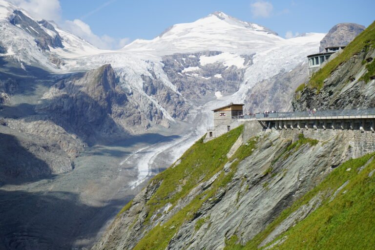
At 3,798 metres the highest mountain in Austria and the highest in the Alps east of the Brenner Pass, standing on the main ridge of the Central Eastern Alps. The Pasterze, the country’s most extensive glacier, lies on its eastern slope. What looks like a single pyramid is in fact two pinnacles, the Grossglockner and the Kleinglockner at 3,770 metres, divided by the Glocknerscharte col. The name Glocknerer first appears on a map of 1561 by the Viennese cartographer Wolfgang Lazius; the prefix Gross- is not recorded before the first expedition in 1799.
Watch
Read and plan
Nearby, across borders
Within 60 km as the crow flies, in any country.