Wild Atlantic Way — South Castle & country houseCoastal & cliff walkingLake & waterway
Ring of Kerry
179 kilometres around the Iveragh Peninsula
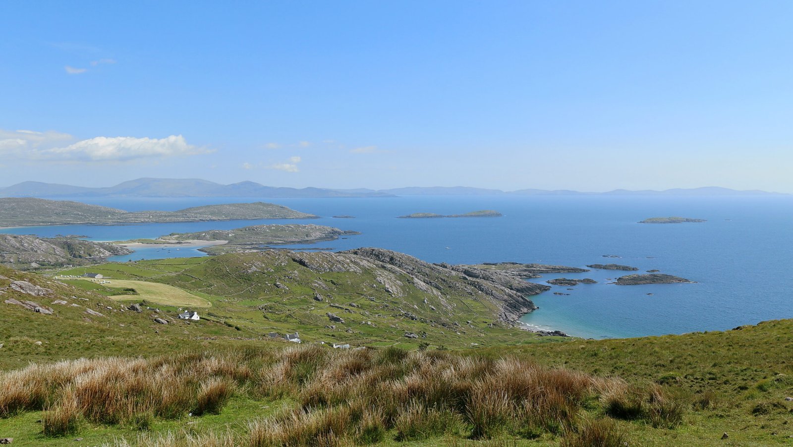
Photograph by Robert Linsdell from St. Andrews, Canada on Wikimedia Commons
About Ring of Kerry
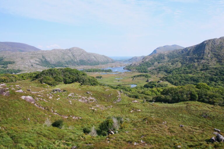
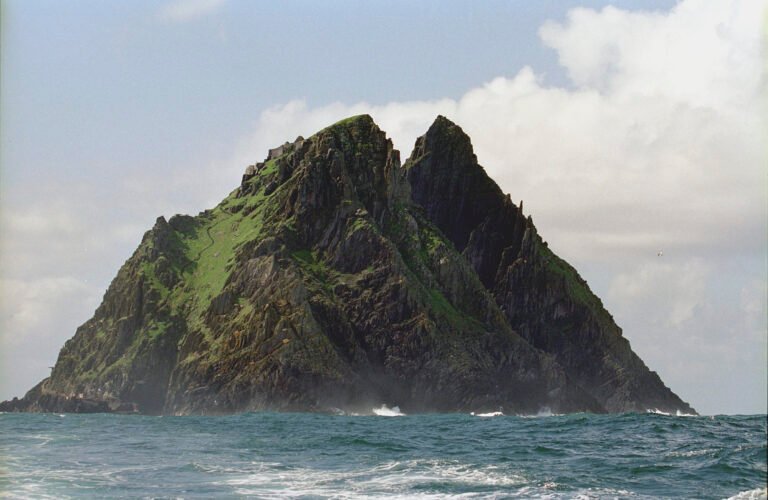
A circular route of 179 kilometres around the Iveragh Peninsula: clockwise from Killarney it takes the N71 to Kenmare, then the N70 through Sneem, Waterville, Cahersiveen and Glenbeigh to Killorglin, returning on the N72. It strings together most of what people come to Kerry for, Muckross House, Ross Castle and Lough Leane inside Killarney National Park, the panorama at Ladies View, Torc Waterfall, the Gap of Dunloe, Staigue stone fort, and Derrynane House, where Daniel O’Connell lived. Skellig Michael lies off the coast.
Watch
Read and plan
Nearby, across borders
Within 60 km as the crow flies, in any country.