Tolmin
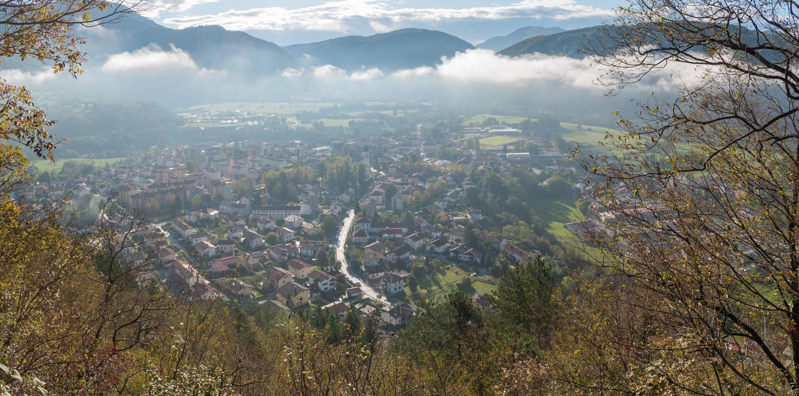
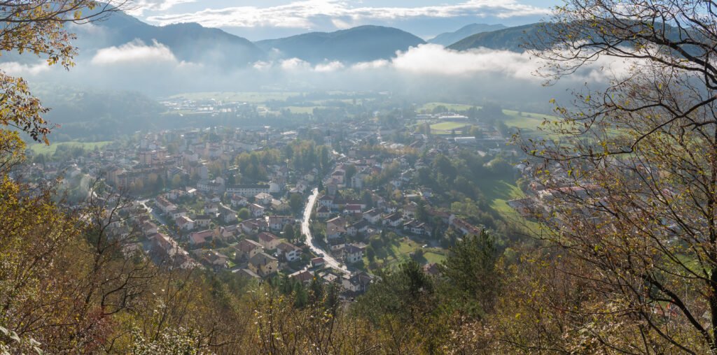
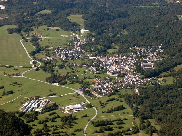
Above the meeting of the Soča and Tolminka
Foto door Krzysztof Golik op Wikimedia Commons
Nog niet beschikbaar in het Nederlands. Weergegeven in het Engels.
Over Tolmin
The largest settlement in the Upper Soča Valley, standing on a terrace above the meeting of the Soča and the Tolminka beneath steep mountain valleys, and the economic, cultural and administrative centre that gave the whole Tolmin district its name. The early inhabitants were Illyrians. It passed in turn to the Roman Empire, to Odoacer, to the Ostrogoths, to the Eastern Roman Empire and to the Lombard Duchy of Friuli, until Charlemagne conquered it in 774 and replaced it with the Carolingian March of Friuli.
Kijken
Lezen en plannen
In de buurt, over de grens
Binnen 60 km van deze plek, in elk land.
Rustiger in de buurt
Meer plekken van een ander soort binnen 60 km.