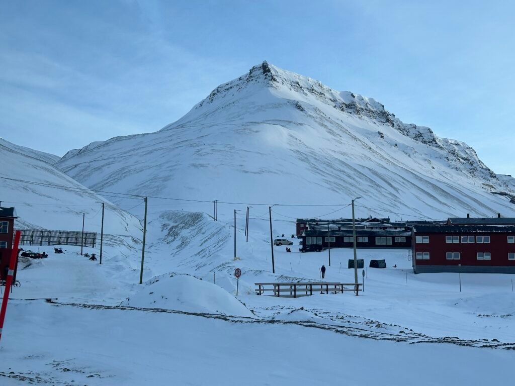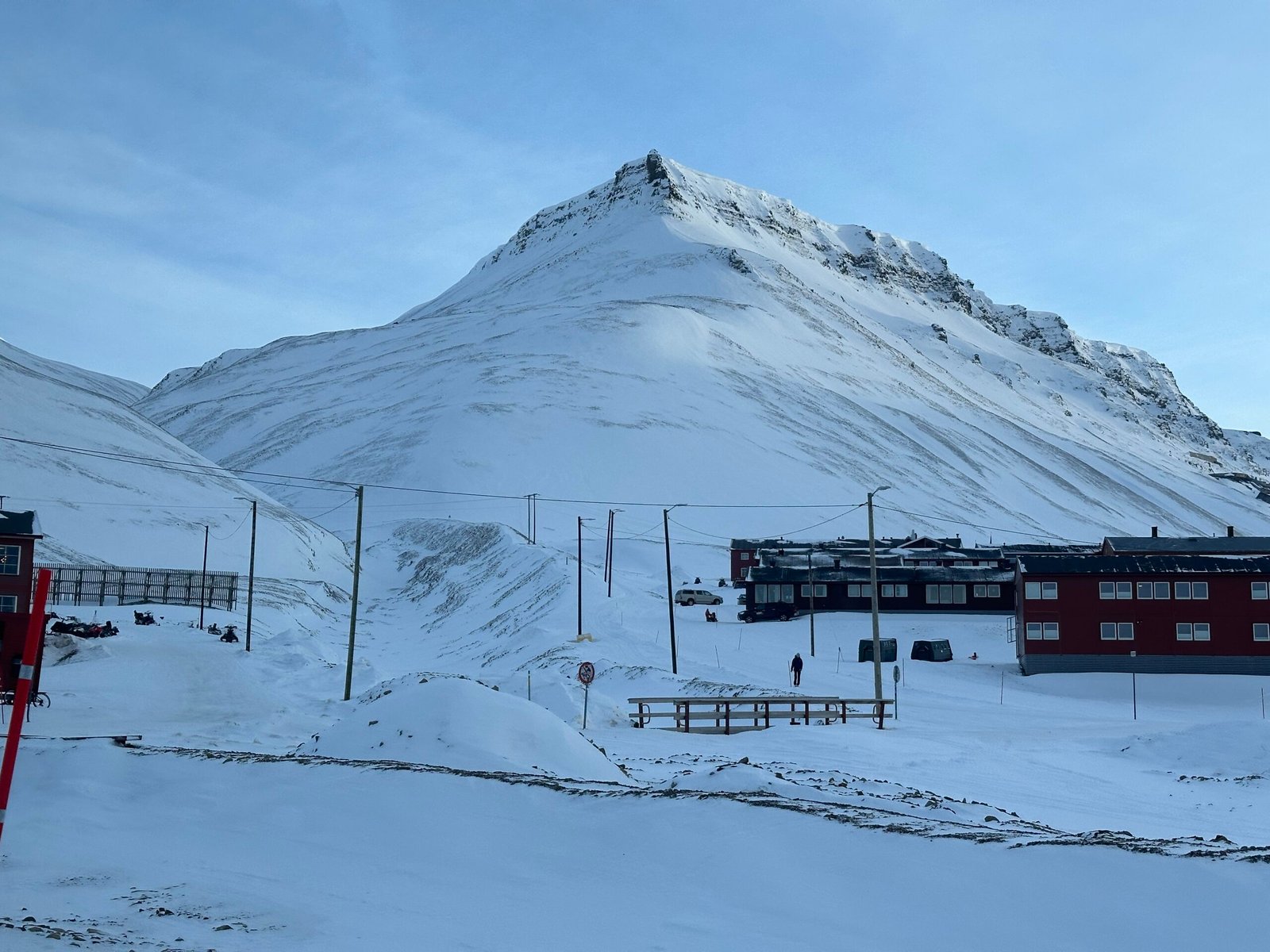
Svalbard
Sixty per cent glacier, between 74° and 81° north
Foto door Ssu op Wikimedia Commons
Nog niet beschikbaar in het Nederlands. Weergegeven in het Engels.
Over Svalbard
An archipelago between 74° and 81° north, roughly midway from the Norwegian mainland to the Pole, with about 60 per cent of it under ice. Seventeenth- and eighteenth-century whalers used it as a base and then left it; coal brought people back at the start of the twentieth century, and the Svalbard Treaty of 1920 recognised Norwegian sovereignty while making the islands a free economic zone with military use restricted. Longyearbyen is the largest settlement, with Russian Barentsburg and the research stations at Ny-Ålesund and Hornsund elsewhere. No roads join them: it is snowmobile, boat or aircraft.
Kijken