Andalusia Gorge & canyonBergwandelenHistorische stad
Ronda
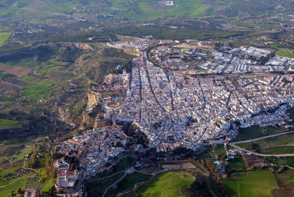
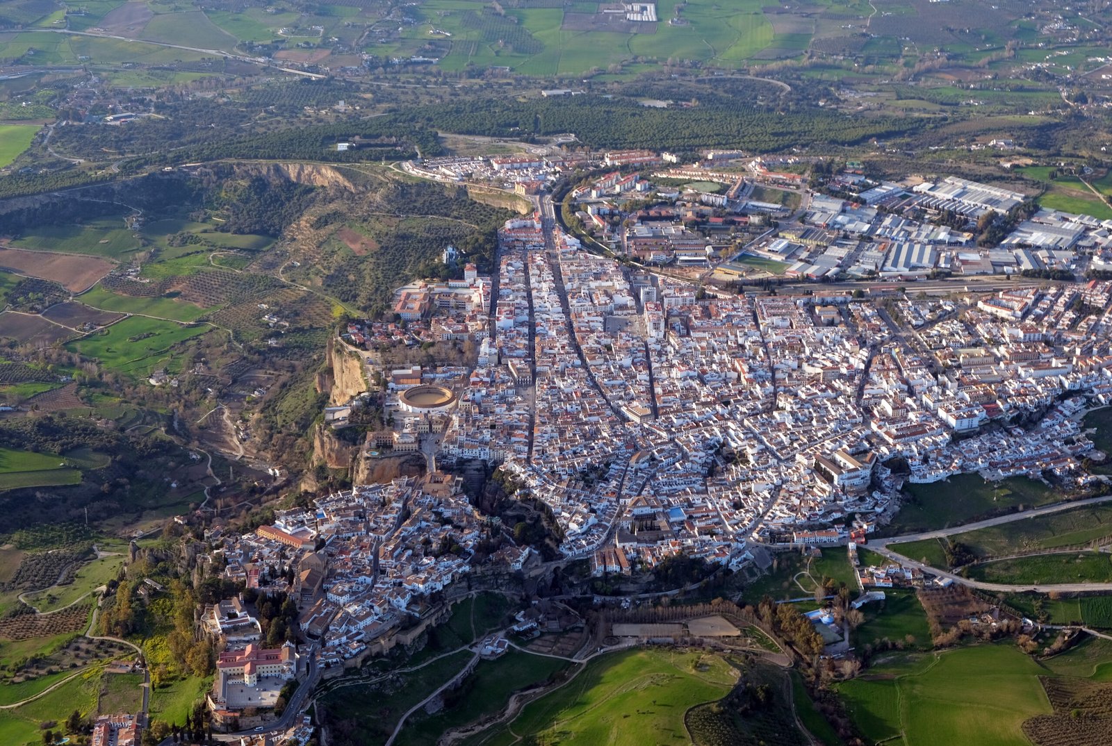
A plateau town split by the Tajo gorge
Foto door kallerna op Wikimedia Commons
Nog niet beschikbaar in het Nederlands. Weergegeven in het Engels.
Over Ronda
Ronda sits on the Ronda Depression, a Miocene plateau at 600 to 800 metres above sea level with fertile land growing the Mediterranean triad of wheat, olive and vine, in the province of Málaga. The town is cut in two by a deep gorge, El Tajo, carrying the Guadalevín. It is traditionally identified with ancient Arunda, settled under the Iberians and the Romans. The gorge is what everyone comes for, and the bridge across it is best seen from the paths below rather than from the parapet. The altitude keeps the summer a degree more bearable than the coast.
Kijken