Finnmark Toegankelijk wandelenCoastal & cliff walkingScenic route
Nordkapp
Where the Norwegian Sea meets the Barents Sea
Foto door Frankemann op Wikimedia Commons
Nog niet beschikbaar in het Nederlands. Weergegeven in het Engels.
Over Nordkapp
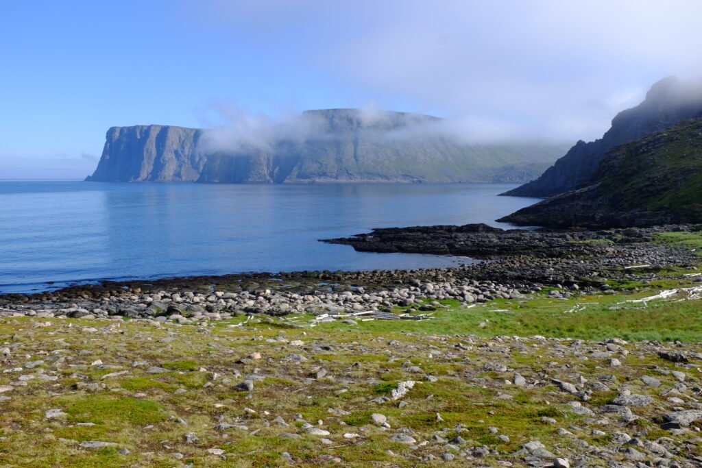
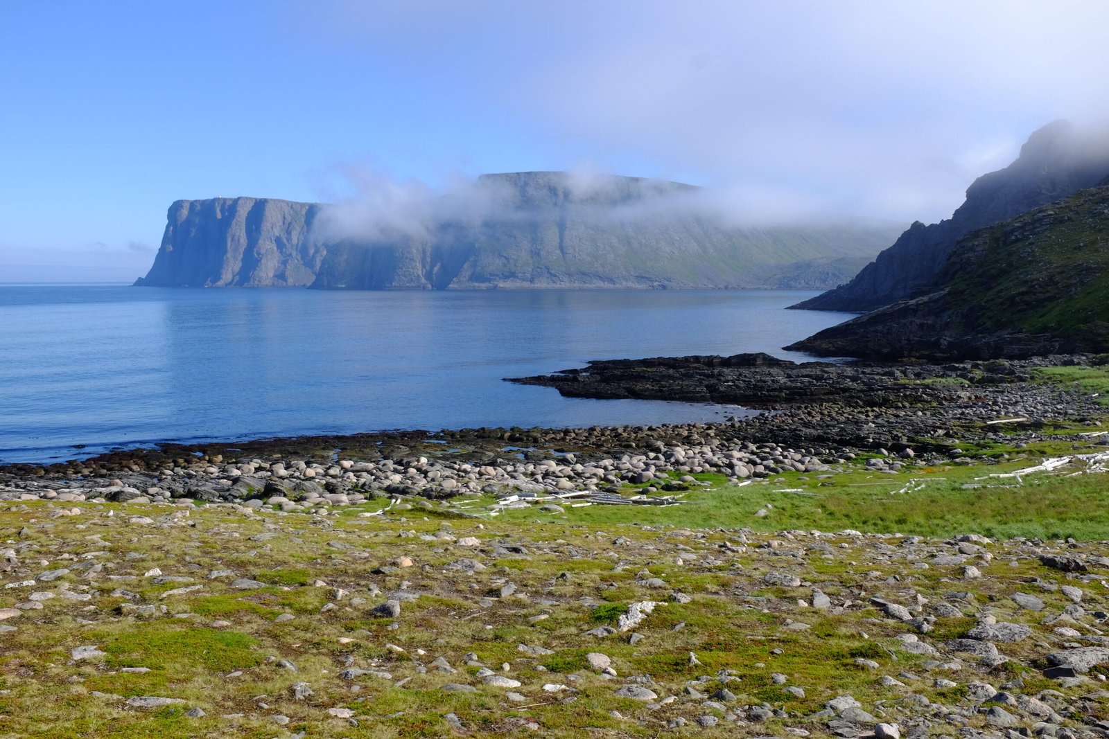
A 307-metre cliff on the island of Magerøya with a wide flat plateau on top, where the Norwegian Sea meets the Barents Sea and, from 14 May to 31 July, the sun never sets, dipping lowest a little after midnight. The E69 ends here, which makes this the northernmost point in Europe reachable by car, though the claim usually made for it is not quite true: neighbouring Knivskjellodden reaches 1,450 metres further north, and mainland Europe’s true northern tip is Cape Nordkinn. North Cape Hall, built into the plateau in 1988, holds the café, museum and cinema.
Kijken