Mols Bjerge National Park
Half of all wild Danish plant species
Foto door Sebastian Nils op Wikimedia Commons
Nog niet beschikbaar in het Nederlands. Weergegeven in het Engels.
Over Mols Bjerge National Park
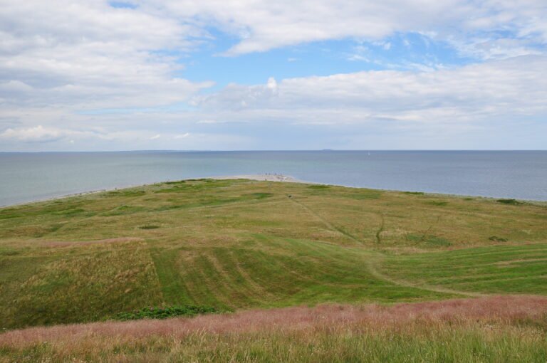
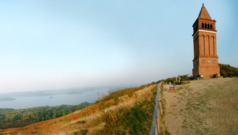
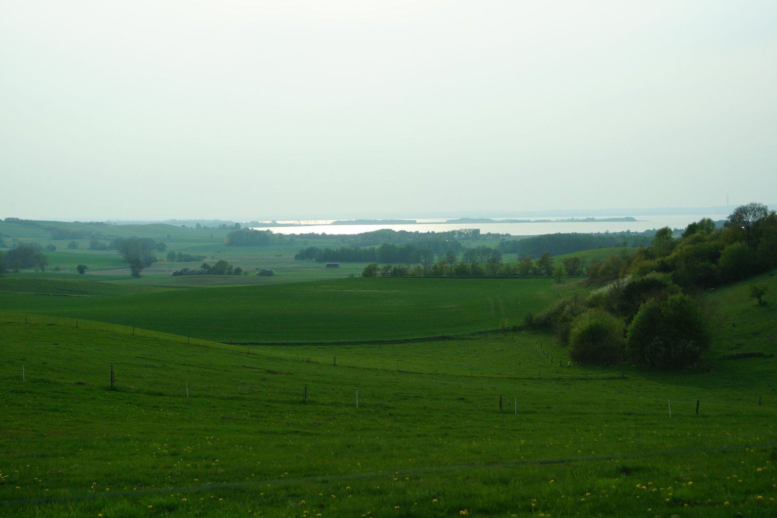
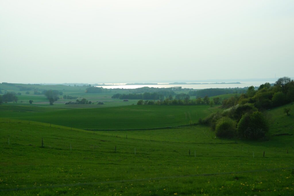
Denmark’s second national park, inaugurated by Queen Margrethe II on 29 August 2009 across 180 square kilometres of southern Djursland, bounded by the Kattegat to the east and the Kaløskovene forests to the west. The hills at its centre reach 137 metres and cover 2,500 hectares, and more than half of all wild Danish plant species grow within the park. The ground was shaped at the end of the last ice age and is a mix of heath, forest, pasture, bog, meadow and coast. An eighteenth-century manor and the ruins of a fourteenth-century castle stand inside the boundary.
Kijken
Lezen en plannen
In de buurt, over de grens
Binnen 60 km van deze plek, in elk land.