Rogaland Coastal & cliff walkingFjord & sea cliffScenic route
Lysefjord
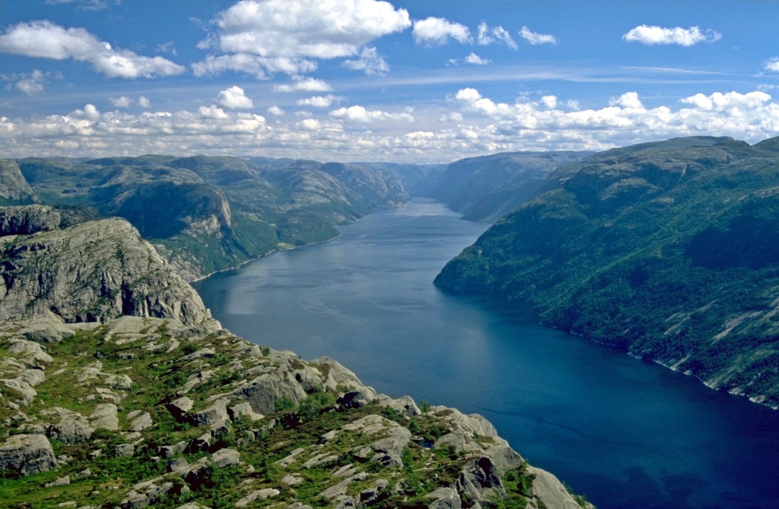
Forty-two kilometres between vertical walls
Foto door Andreas Tille op Wikimedia Commons
Nog niet beschikbaar in het Nederlands. Weergegeven in het Engels.
Over Lysefjord
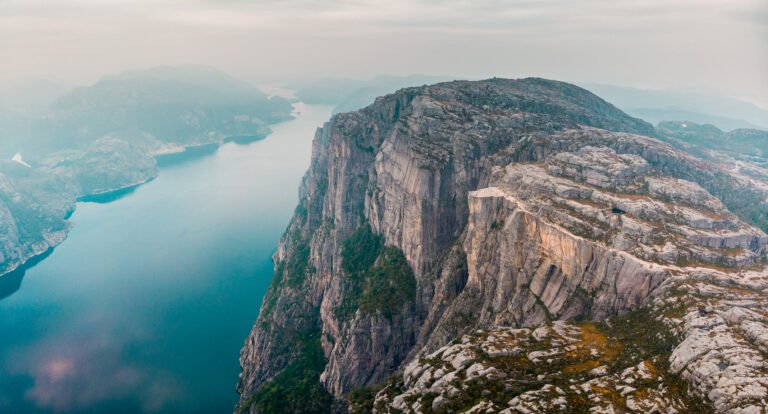
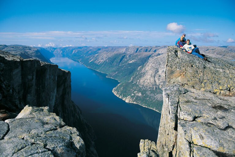
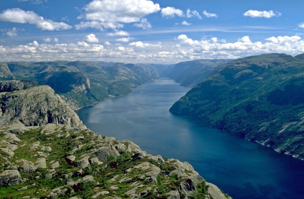
Forty-two kilometres of water with walls falling nearly vertically for over a thousand metres, and in places the fjord is as deep as the mountains beside it are high, thirteen metres where it meets the sea at Forsand, over four hundred by the time it passes beneath Preikestolen. The name means light fjord and is said to come from the pale granite along its sides. Glaciers cut it and the sea filled it when they went. The sides are too steep for any road, so only Forsand and Lysebotn stand at either end and the settlements between are reached by boat.
Kijken
Lezen en plannen
In de buurt, over de grens
Binnen 60 km van deze plek, in elk land.