London
Nearly 2,000 years on the tidal Thames
Foto door Ilya Grigorik op Wikimedia Commons
Nog niet beschikbaar in het Nederlands. Weergegeven in het Engels.
Over London
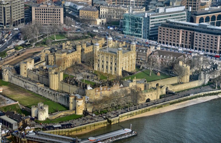
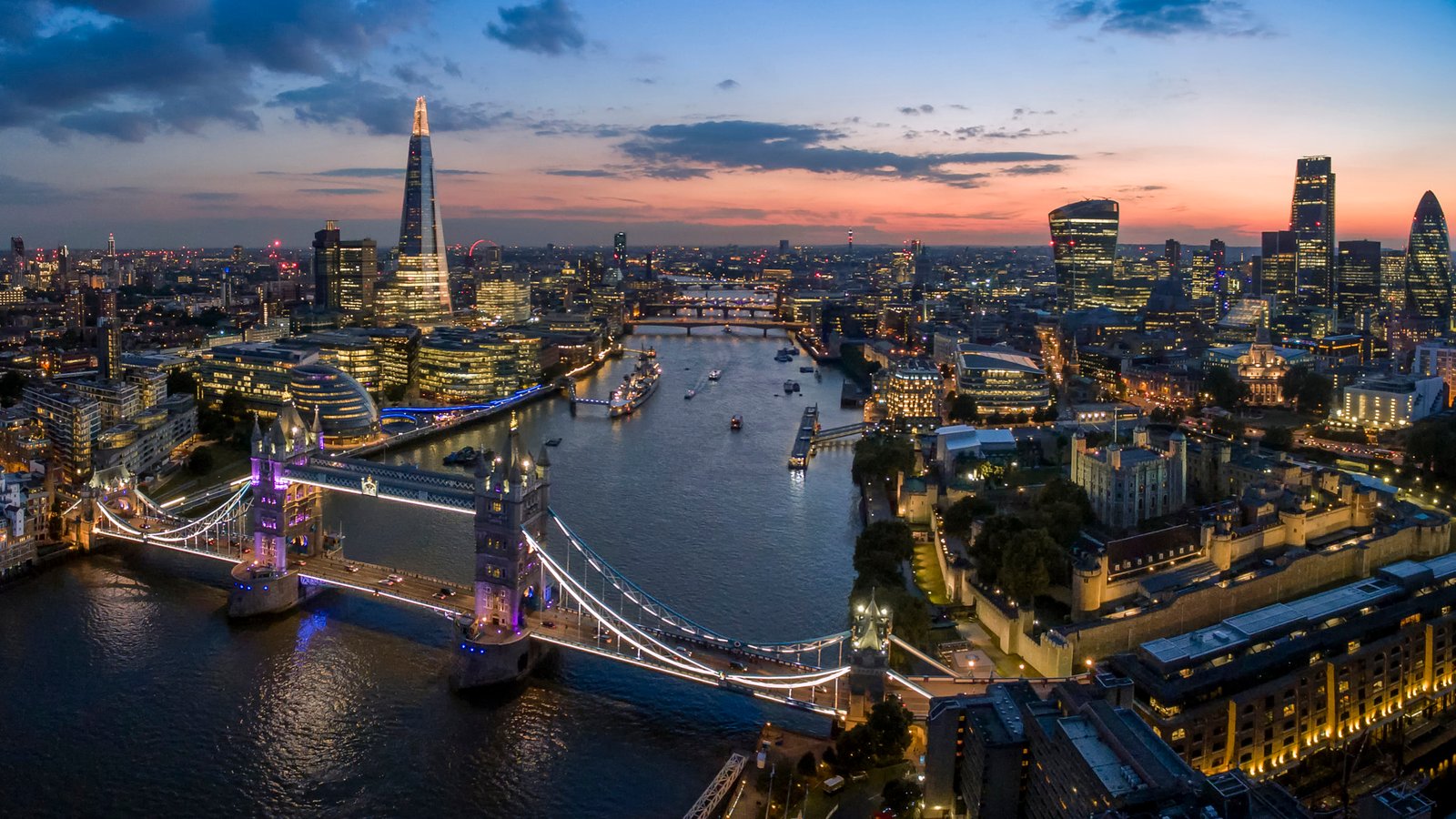
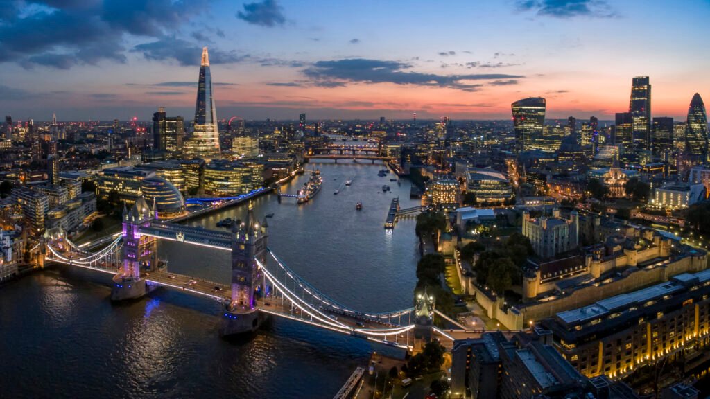
A settlement for nearly 2,000 years, standing on the Thames at the head of a fifty-mile tidal estuary running down to the North Sea. The ancient core is the City of London, founded by the Romans as Londinium and still keeping its medieval boundaries; Westminster, immediately west of it, has held the government and parliament for centuries. The city grew so fast in the nineteenth century that it became the largest in the world, spilling across what were then Middlesex, Essex, Surrey, Kent and Hertfordshire. Greater London has been the administrative area since 1965, run by thirty-three local authorities and the Greater London Authority.
Kijken
Lezen en plannen
In de buurt, over de grens
Binnen 60 km van deze plek, in elk land.