Loch Lomond & The Trossachs
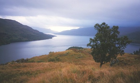
Where the Highland Boundary Fault crosses
Foto door Richard Webb op Wikimedia Commons
Nog niet beschikbaar in het Nederlands. Weergegeven in het Engels.
Over Loch Lomond & The Trossachs
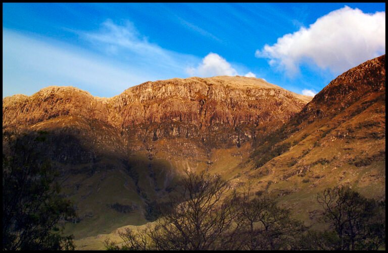
The first national park established by the Scottish Parliament, in 2002, covering 1,865 square kilometres of the western southern Highlands north of Glasgow, with twenty-one Munros in it including Ben Lomond and Ben More, and twenty Corbetts. The Highland Boundary Fault runs straight through, splitting the park into two regions of different rock, soil and shape, green fields and farmland to the south, mountains to the north. You can see the join at Loch Lomond itself, where the fault crosses the islands of Inchmurrin, Creinch, Torrinch and Inchcailloch and the ridge of Conic Hill.
Kijken
Lezen en plannen
In de buurt, over de grens
Binnen 60 km van deze plek, in elk land.