Lindesnes Lighthouse
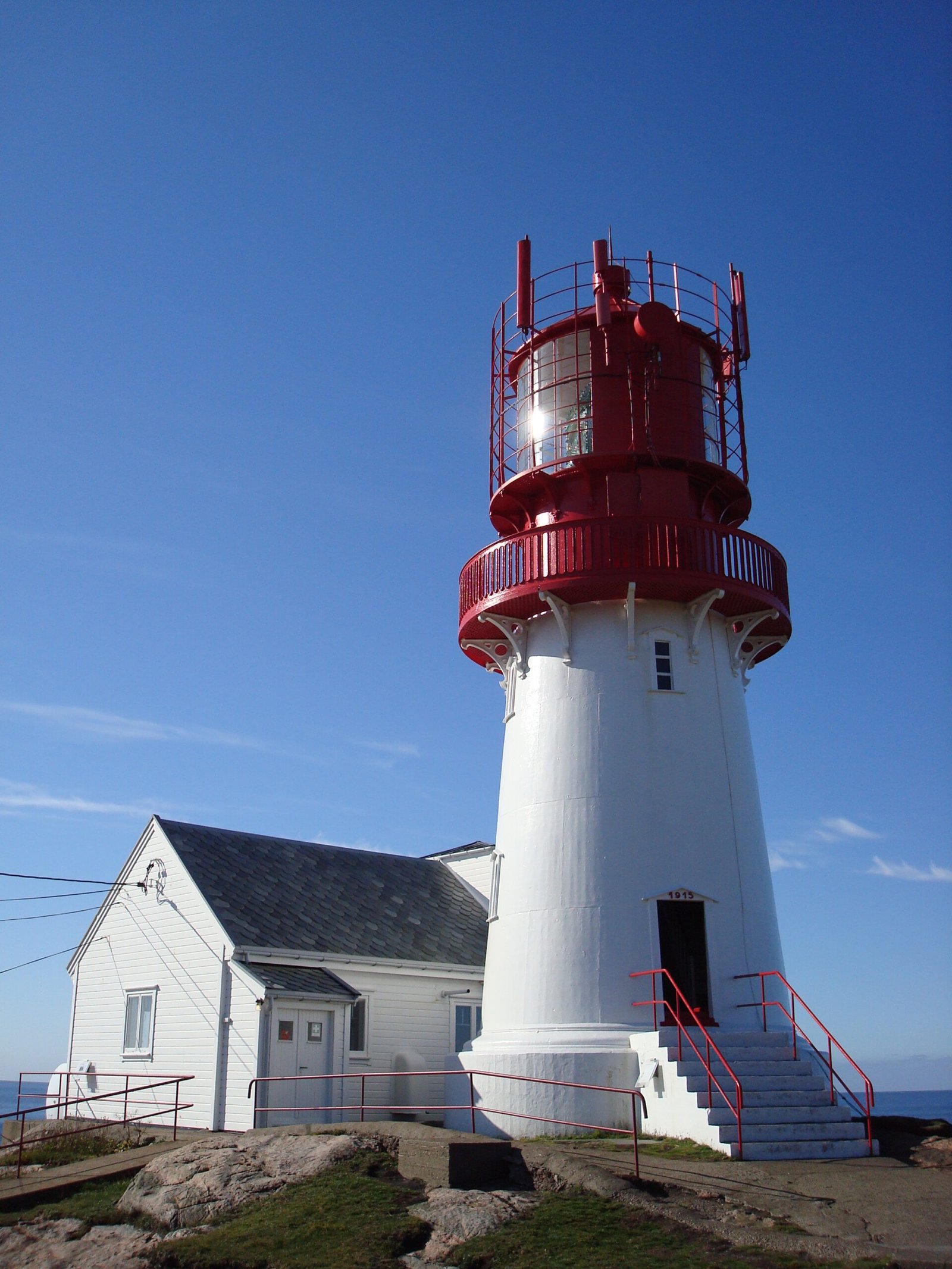
A light at Norway's southern tip since 1656
Foto door Andreas Rümpel op Wikimedia Commons
Nog niet beschikbaar in het Nederlands. Weergegeven in het Engels.
Over Lindesnes Lighthouse
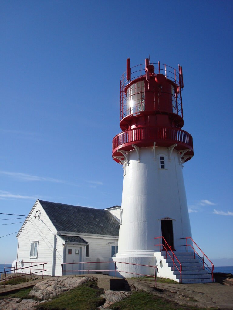
The southernmost point of Norway has carried a light since 1656, when a station was first built to mark the way from the North Sea into the Skagerrak. The present tower went up in 1915 (cast iron on a granite foundation, 16 metres tall, white with a red top) and took the old first-order Fresnel lens with it; the light stands 50 metres above the sea and can be seen for seventeen nautical miles and more. The Germans held it during the war and built a small gun fortress here, and the trenches and tunnels are still in the ground. It is still active, and a museum.
Kijken
Lezen en plannen
In de buurt, over de grens
Binnen 60 km van deze plek, in elk land.