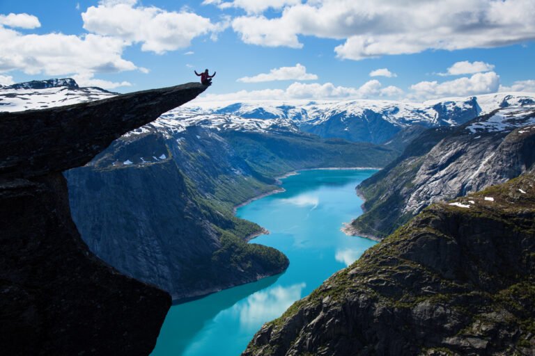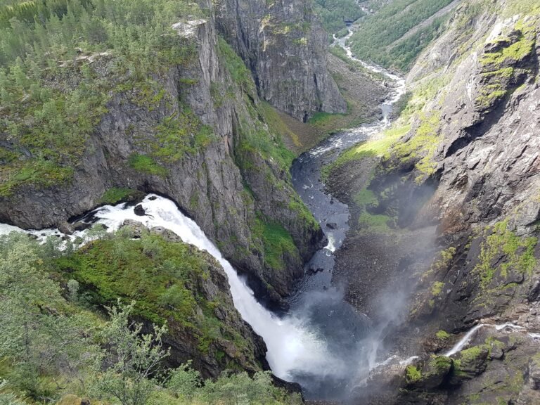
Hardangervidda
Europe's largest plateau of its kind
Foto door Wikimedia Commons contributor op Wikimedia Commons
Nog niet beschikbaar in het Nederlands. Weergegeven in het Engels.
Over Hardangervidda
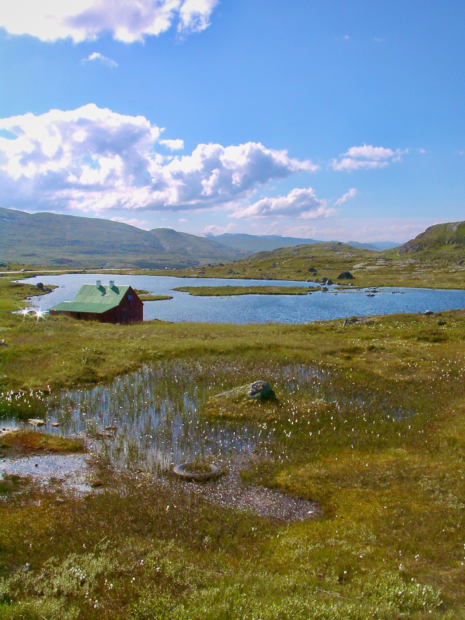
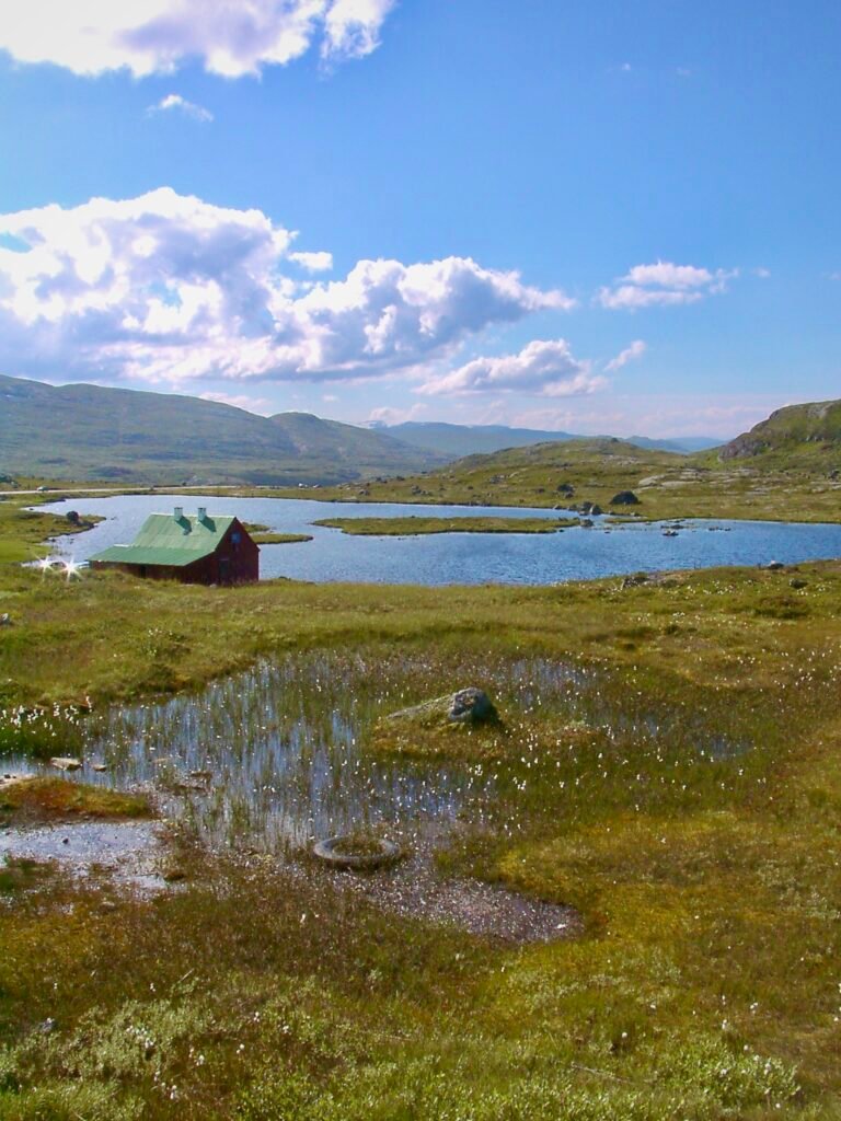
Europe’s largest plateau of its kind and its largest peneplain: about 6,500 square kilometres averaging 1,100 metres in height, all of it above the tree line. The whole surface is barren treeless moorland broken by pools, lakes and rivers, with Hårteigen’s blunt peak visible from most of it and Sandfloegga the high point at 1,721 metres. West and east are quite different, rocky and wet on one side, flatter, greener and drier on the other. The alpine climate carries arctic plants and animals further south than anywhere else in Europe, and the wild reindeer herds are among the largest anywhere.
Kijken
Lezen en plannen
In de buurt, over de grens
Binnen 60 km van deze plek, in elk land.