Brittany Wandelen langs de kust en door de duinenFietsrouteEiland & eilandengroep
Gulf of Morbihan
An almost enclosed sea of channels and islets
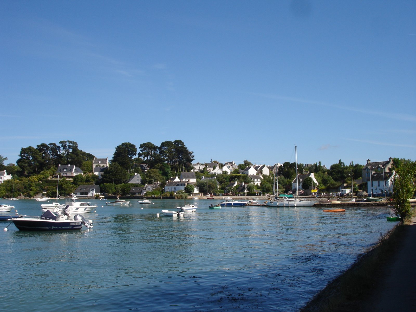
Foto door Pinpin 12:32, 15 August 2006 (UTC) op Wikimedia Commons
Nog niet beschikbaar in het Nederlands. Weergegeven in het Engels.
Over Gulf of Morbihan
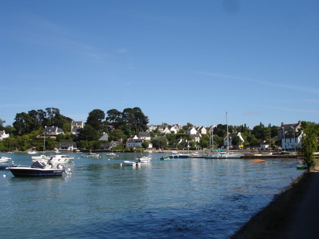
The Gulf of Morbihan is a natural harbour on the coast of southern Brittany. Its Breton name, Ar Mor Bihan, means the little sea, which describes it better than the French does, since it is an almost enclosed basin rather than a bay. Legend has it there are as many islands in it as days in the year. The reality is fewer, but the effect is the same: a shallow tidal maze of channels, oyster beds and wooded islets best understood from the water. The coastal path around the northern shore gives the land-based version.
Kijken
Lezen en plannen
In de buurt, over de grens
Binnen 60 km van deze plek, in elk land.