Fribourg & Neuchâtel Toegankelijk wandelenKasteel en landhuisGastronomy
Gruyères
A town on a hill, and the cheese it named
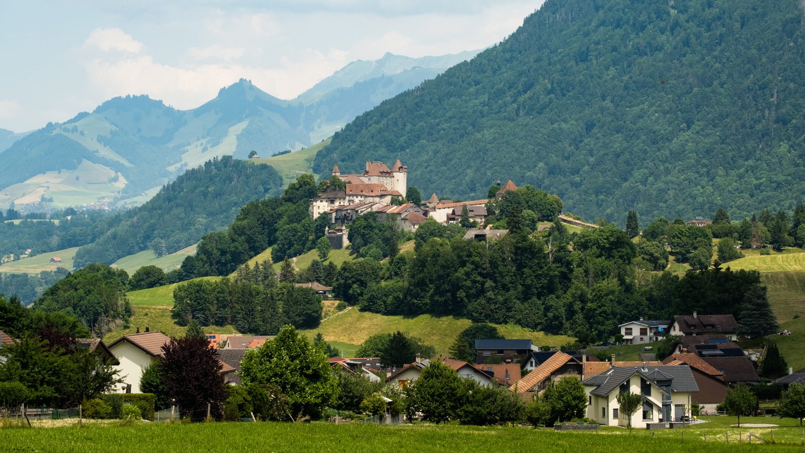
Foto door Christian David op Wikimedia Commons
Nog niet beschikbaar in het Nederlands. Weergegeven in het Engels.
Over Gruyères
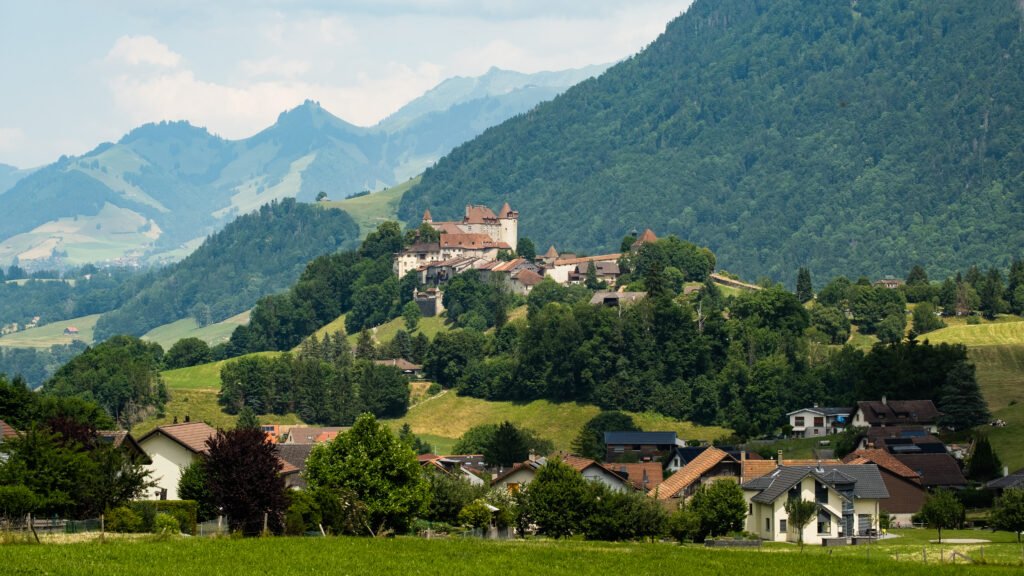
A medieval town on top of an eighty-two-metre hill above the Saane valley and the Lake of Gruyère, and the place that gives Gruyère cheese its name. The municipality covers 28.4 square kilometres, half of it forest and about forty per cent agricultural, of that farmland, a fifth is alpine pasture, which is the arrangement the cheese depends on. Only about five and a half per cent of the ground is built on at all. The town sits in the upper valley of the Saane, in the Fribourg canton.
Kijken
Lezen en plannen
In de buurt, over de grens
Binnen 60 km van deze plek, in elk land.
Rustiger in de buurt
Meer plekken van een ander soort binnen 60 km.