Dalarna Bos & landgoedHeide en veengebiedBergwandelen
Fulufjället National Park
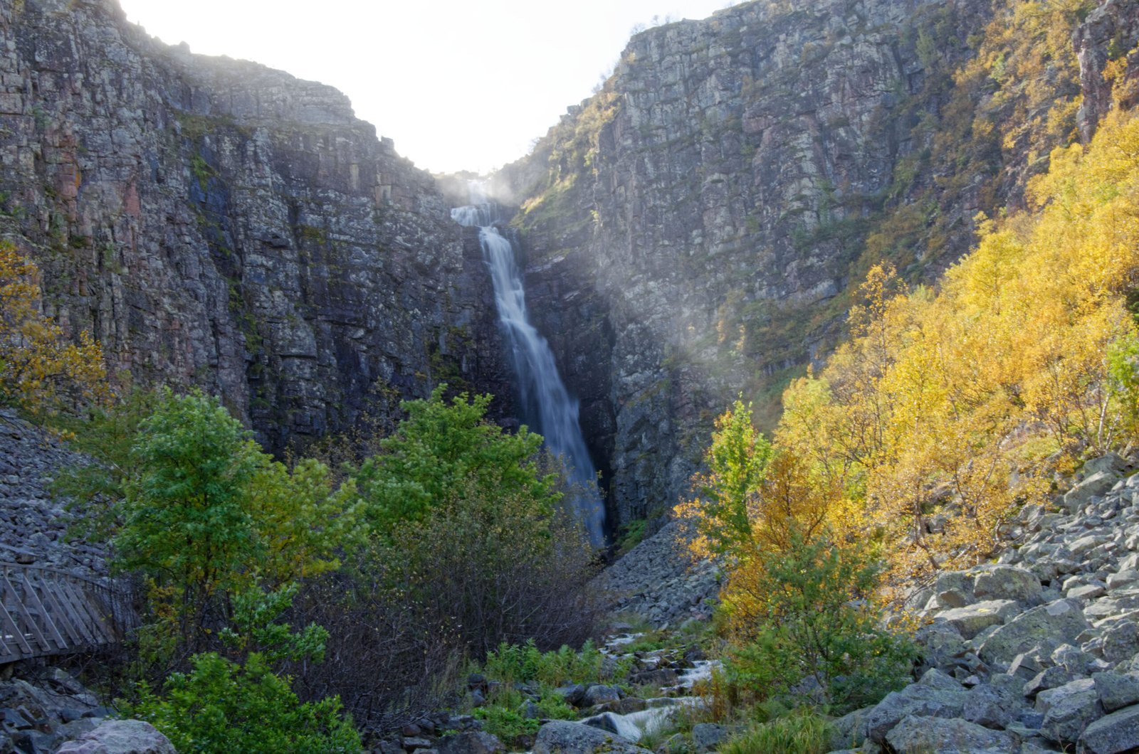
A bare plateau, and Sweden's highest waterfall
Foto door Hsskberra op Wikimedia Commons
Nog niet beschikbaar in het Nederlands. Weergegeven in het Engels.
Over Fulufjället National Park
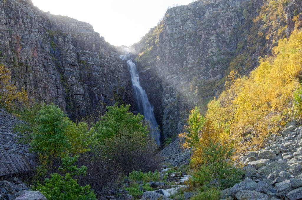
Fulufjället National Park covers 385 square kilometres entirely within Älvdalen Municipality in Dalarna, named for the 1,044-metre mountain at its centre. It takes in the Swedish part of the Fulufjället massif, the southernmost part of the Scandes in Sweden, with the Norwegian side protected separately. The plateau on top is bare and exposed, and Njupeskär falls off its flank, 93 metres in total, with a free drop of 70. Old Tjikko, the ancient spruce, grows in the park.
Kijken