Dublin
Blackpool, in Middle Irish, Du(i)blind
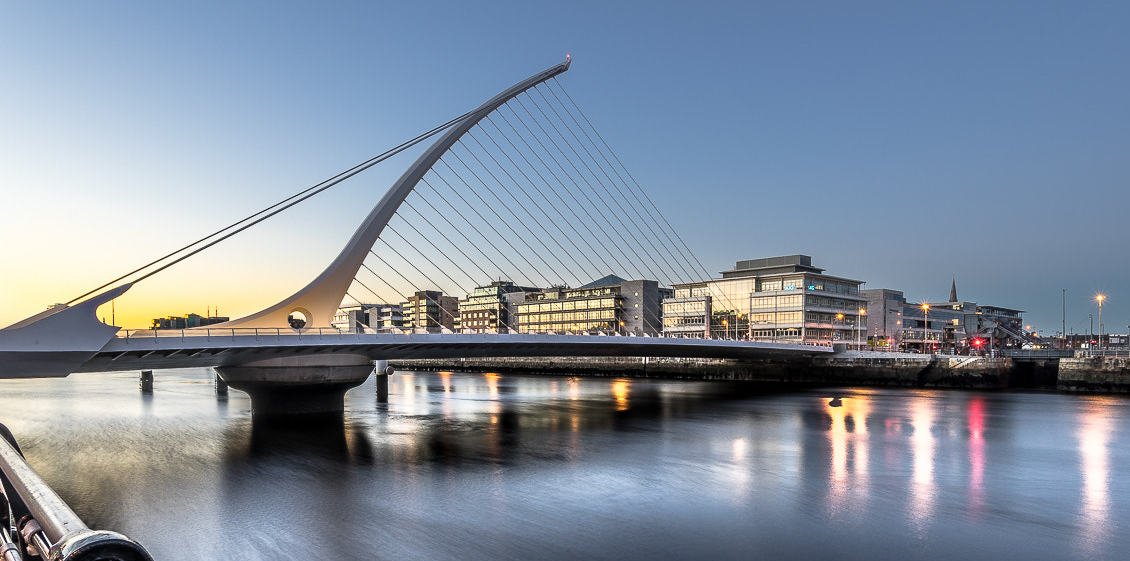
Foto door Giuseppe Milo op Wikimedia Commons
Nog niet beschikbaar in het Nederlands. Weergegeven in het Engels.
Over Dublin
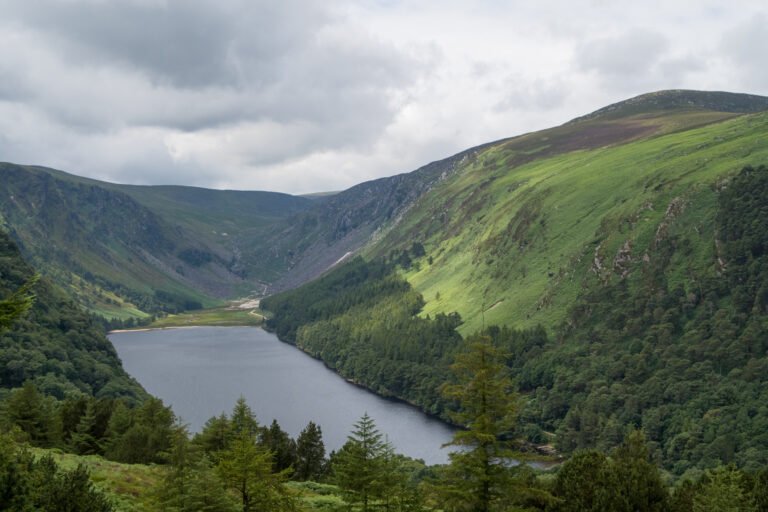
A settlement was made here by the Gaels during or before the seventh century, and the Vikings followed; by the twelfth, after the Anglo-Norman invasion, the Kingdom of Dublin had made it Ireland’s principal town. It expanded fast from the seventeenth century and was briefly the second largest city in the British Empire after the Acts of Union in 1800. It became capital of the Irish Free State in 1922. The name is Middle Irish Du(i)blind, blackpool, from dubh and linn. It sits on Dublin Bay at the mouth of the Liffey with the Wicklow Mountains behind.
Kijken
Lezen en plannen
In de buurt, over de grens
Binnen 60 km van deze plek, in elk land.
Rustiger in de buurt
Meer plekken van een ander soort binnen 60 km.