Alentejo Wandelen langs de kust en door de duinenBergwandelenNationaal park
Costa Vicentina
One of the last stretches of wild European coast
Foto door Paula F. Souza op Wikimedia Commons
Nog niet beschikbaar in het Nederlands. Weergegeven in het Engels.
Over Costa Vicentina
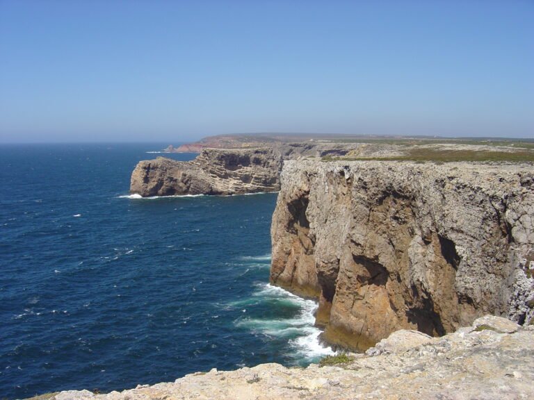
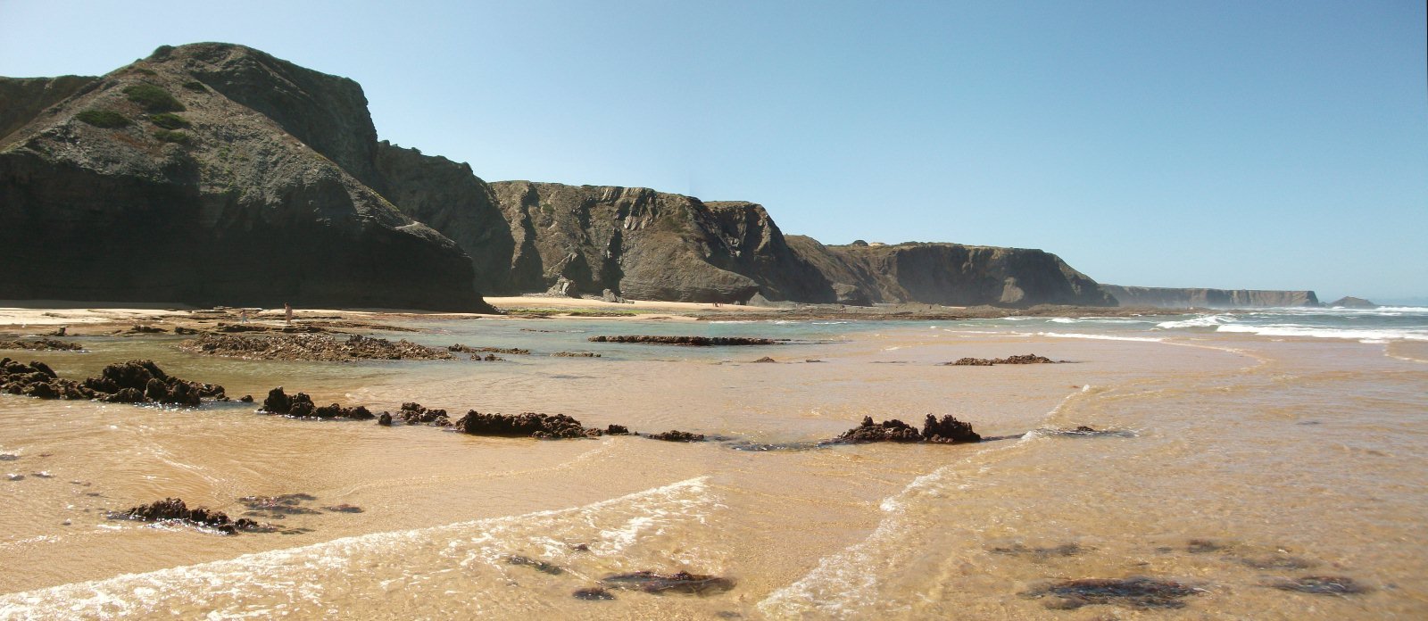
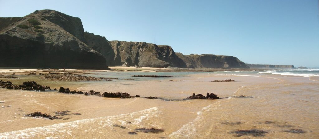
The Southwest Alentejo and Vicentine Coast Natural Park covers 895.7 square kilometres, 605.8 on land and 289.9 at sea, and is one of the last strongholds of genuinely wild European coast. Created on 7 July 1988, it holds one of the highest levels of biodiversity in the country, with over twelve endemic plant species and several bird nesting sites. Cliffs drop straight to small beaches with no road access, and the Rota Vicentina follows the top of them. The Atlantic here is cold and the wind is rarely absent.
Kijken
Lezen en plannen
In de buurt, over de grens
Binnen 60 km van deze plek, in elk land.