Wild Atlantic Way — North Heide en veengebiedBergwandelenScenic route
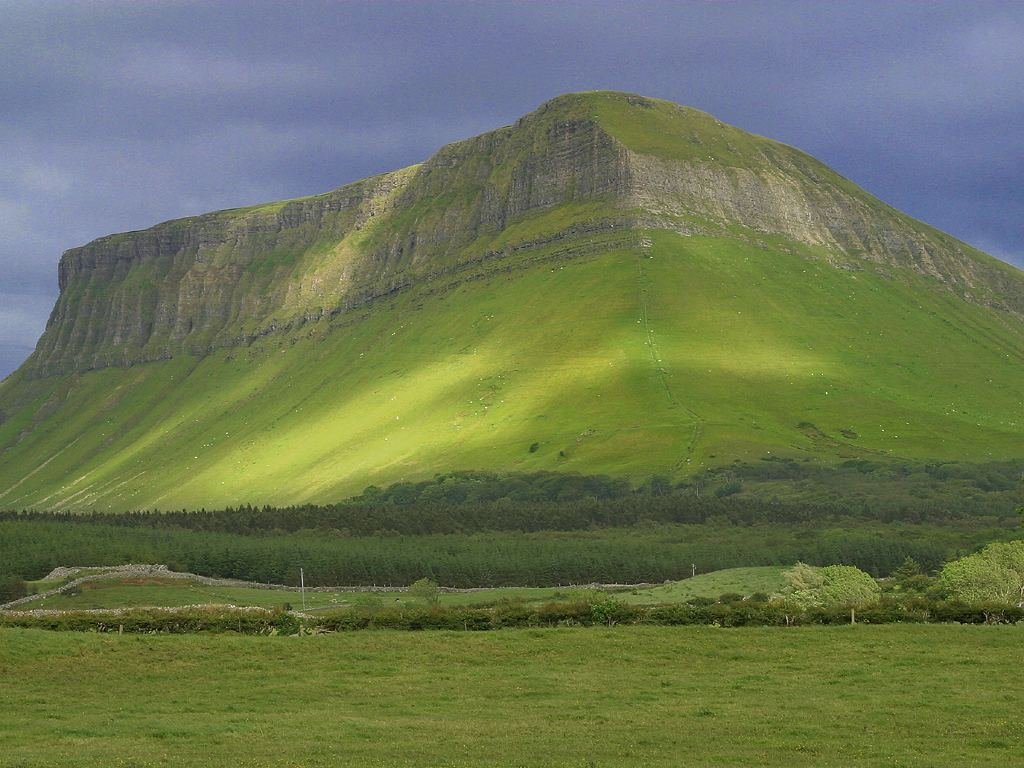
Benbulbin
A plateau cut to a knife by ice
Foto door Wikimedia Commons contributor op Wikimedia Commons
Nog niet beschikbaar in het Nederlands. Weergegeven in het Engels.
Over Benbulbin
A steep-sided, flat-topped mountain of 526 metres in the Dartry range, in country often called Yeats Country. It began as a large plateau and was cut into its present shape by glaciers moving from northeast to southwest during the ice age, surviving as a nunatak. The rock is limestone over mudstone, formed about 345 to 330 million years ago in the Viséan stage of the Carboniferous, when this was shallow sea; the Dartry Limestone Formation caps it. Sligo County Council has designated it a County Geological Site.
Kijken
Lezen en plannen
In de buurt, over de grens
Binnen 60 km van deze plek, in elk land.