Tyrol Alpine & high mountainGlacier & iceHill walking
Stubai Alps
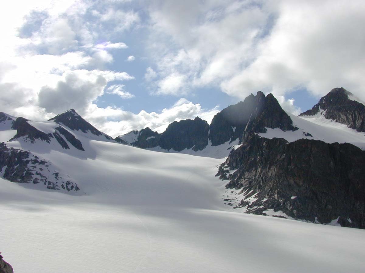
Lightly glaciated north, heavily south
Photograph by By William M. Connolley. on Wikimedia Commons
About Stubai Alps
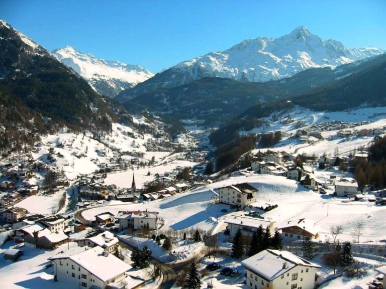
A range of the Central Eastern Alps southwest of Innsbruck, named after the Stubaital on its eastern side, with several peaks forming the border with Italy. The Inn valley bounds it to the north, the Wipptal and Brenner Pass to the east, the Ötztal and Timmelsjoch to the west. The range differs sharply from end to end: the northern part around the Sellrain and Kühtai is only lightly glaciated now and popular for ski touring, while the High Stubai above the upper valley remains heavily glaciated and is a classic high mountain touring region, with a glacier ski area on the Stubai Glacier.
Watch
Read and plan
Nearby, across borders
Within 60 km as the crow flies, in any country.