Eastern Region Glacier & iceHill walkingNational park
Skaftafell
Fire above, ice below, sand between
Photograph by Eysteinn Guðni Guðnason on Wikimedia Commons
About Skaftafell
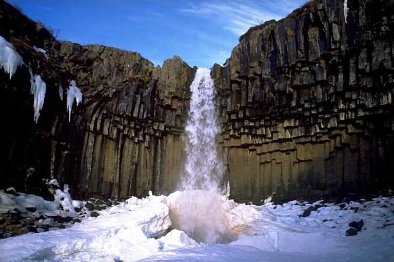
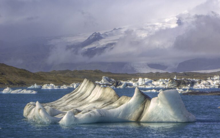
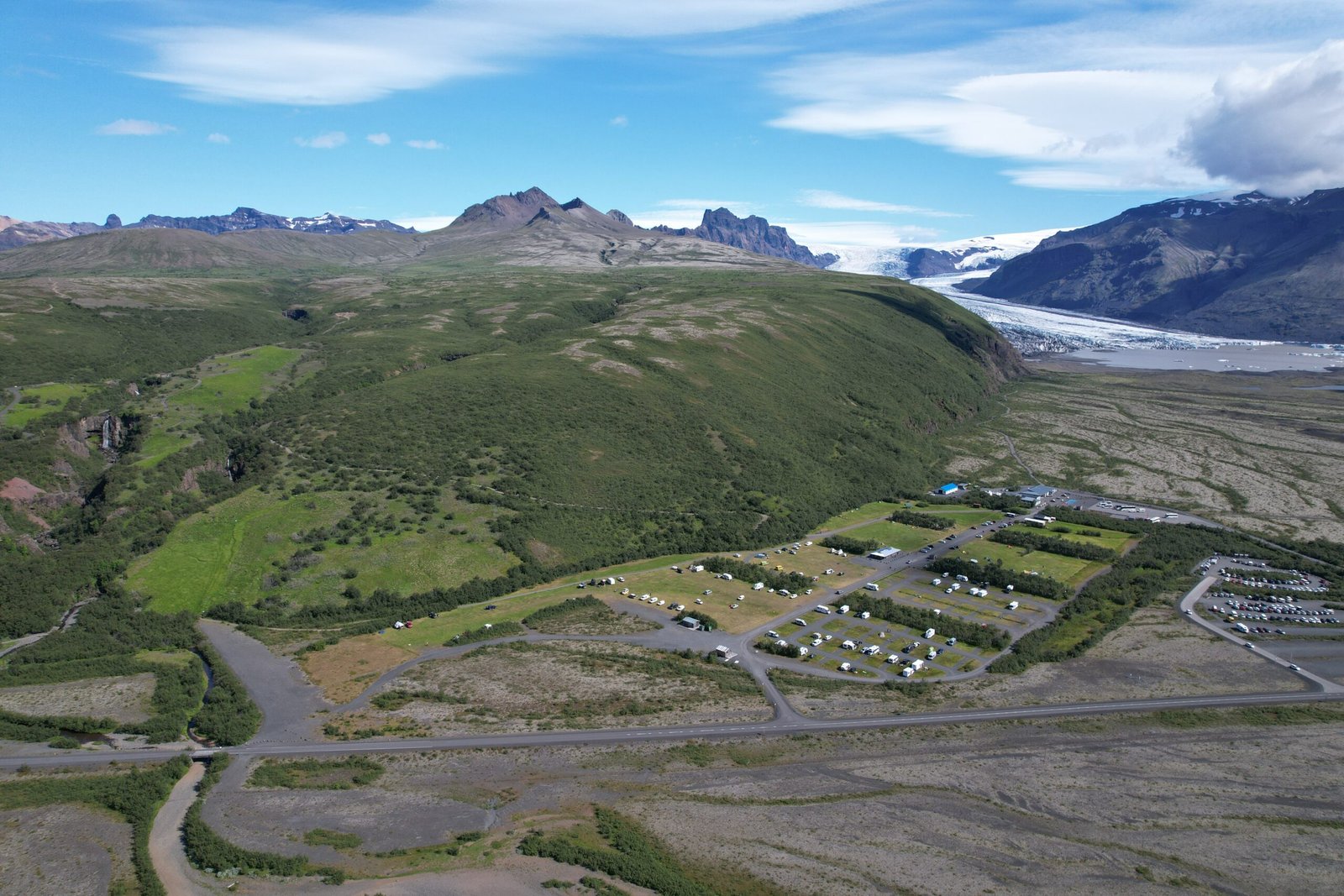
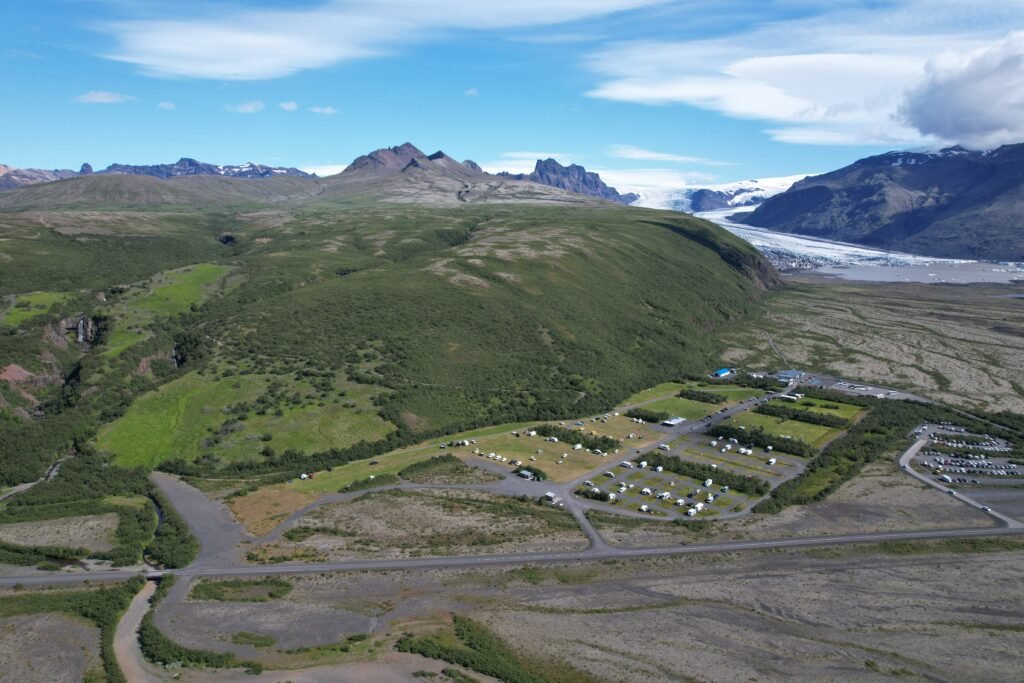
Once a farm, then a national park in its own right from 15 September 1967, and since 7 June 2008 part of the larger Vatnajökull park. It was Iceland’s second largest at about 4,807 square kilometres before the merger, holding the Morsárdalur valley, the peak of Kristínartindar, and Skaftafellsjökull spilling off the ice cap. Fire and water shaped all of it, eruptions under Öræfajökull, and the glaciers and rivers below. Eruptions beneath the ice throw out jökulhlaups, glacial floods that swell the Skeiðará enormously and lay down the sand waste of Skeiðarársandur between glacier and sea.
Watch
Read and plan
Nearby, across borders
Within 60 km as the crow flies, in any country.