Mid-Atlantic Forest & estateHill walkingNational park
Shenandoah National Park
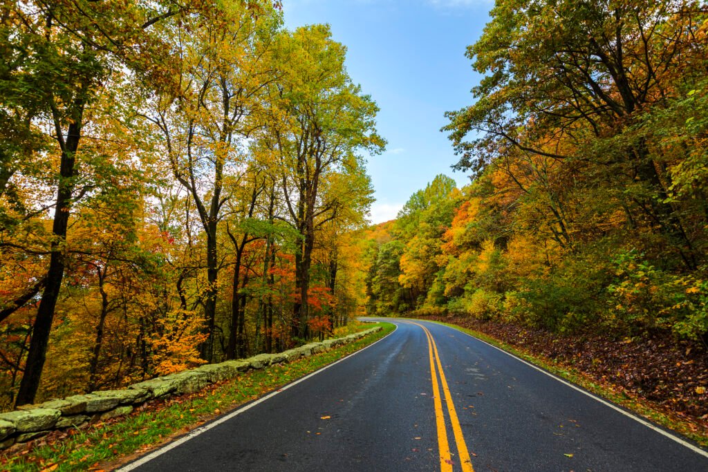
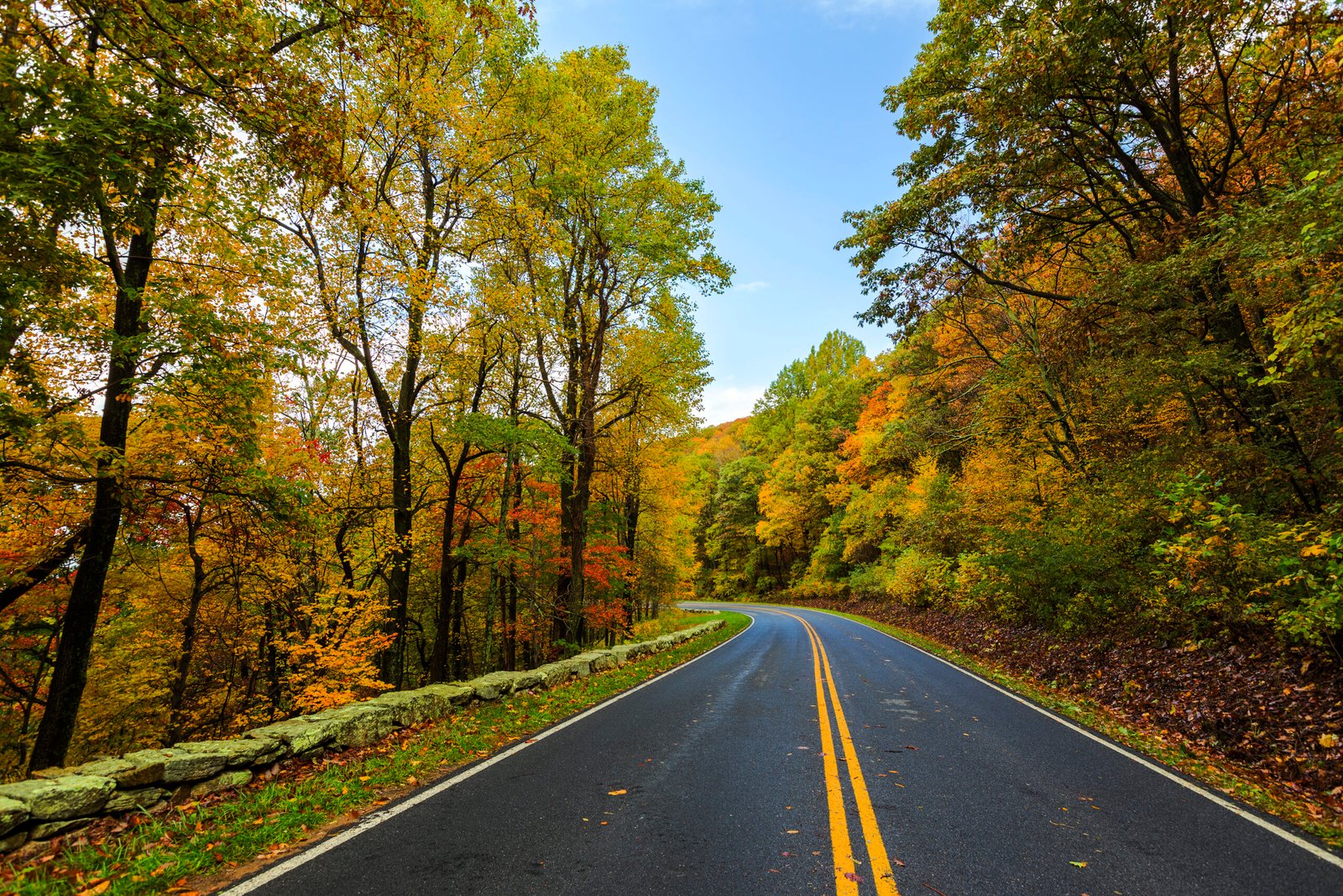
Skyline Drive, the length of the Blue Ridge
Photograph by Shenandoah National Park from Virginia on Wikimedia Commons
About Shenandoah National Park
A long, narrow park along the Blue Ridge in Virginia, with the Shenandoah River and its broad valley on one side and the rolling Piedmont on the other. Skyline Drive runs the length of it, generally following the ridgeline. Almost 40 per cent of the park, 79,579 acres, is designated wilderness and protected within the National Wilderness Preservation System. Hawksbill Mountain is the high point at 4,051 feet. The founding document sets out its purpose as preserving the scenery and the wilderness while providing for public enjoyment and recreation.
Watch