
East Midlands Cave & undergroundHeathland & moorHill walking
Peak District
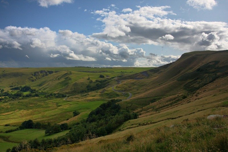
The Dark Peak and the White Peak, side by side
Photograph by Evilbish on Wikimedia Commons
About Peak District
Upland at the southern end of the Pennines, split into halves of quite different character: the Dark Peak, gritstone moorland forming an arc across the north, east and west, and the White Peak, limestone with valleys and gorges through the centre and south. Kinder Scout is the high point at 636 metres. Farmed since the Mesolithic, mined from the Middle Ages, then filled with Richard Arkwright’s cotton mills in the valleys during the Industrial Revolution; quarrying grew as mining fell away. It was designated a national park in 1951, the first in the country.
Watch