Yorkshire Coastal & cliff walkingHeathland & moorHill walking
North York Moors
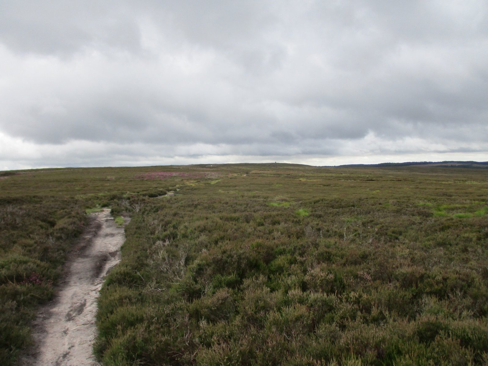
The largest heather moorland in the UK
Photograph by Martin Dawes on Wikimedia Commons
About North York Moors
The largest expanse of heather moorland in the United Kingdom, designated a national park in 1952 and covering 1,436 square kilometres with 22,935 people living in it. The boundaries are drawn by landform rather than by line: North Sea cliffs to the east, the steep scarps of the Cleveland Hills above the Tees lowlands to the north and the Hambleton Hills above the Vale of Mowbray to the west, and the broken line of the Tabular Hills to the south. Four roads cross it north to south, and the Esk Valley line runs east to west.
Watch
Read and plan
Nearby, across borders
Within 60 km as the crow flies, in any country.