Northern Ireland Alpine & high mountainHeathland & moorHill walking
Mourne Mountains
A wall across fifteen summits
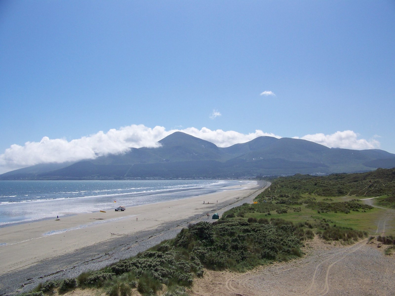
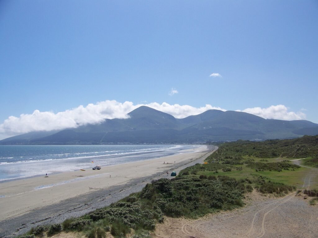
Photograph by Laureljade on Wikimedia Commons
About Mourne Mountains
A granite range in County Down holding Slieve Donard at 850 metres, the highest mountain in Ulster. The Mourne Wall crosses fifteen of the summits, built to enclose the catchment of the Silent Valley and Ben Crom reservoirs, and now, with the ground inside it, owned by Northern Ireland Water. The name comes from a Gaelic sept, the Múghdhorna; the older name for the territory was Bairrche, surviving in the Irish Na Beanna Boirche, the peaks of the peak district. It is an Area of Outstanding Natural Beauty, and has been proposed as Northern Ireland’s first national park.
Watch
Read and plan
Nearby, across borders
Within 60 km as the crow flies, in any country.