North Karelia Forest & estateHill walkingLake & waterway
Koli National Park
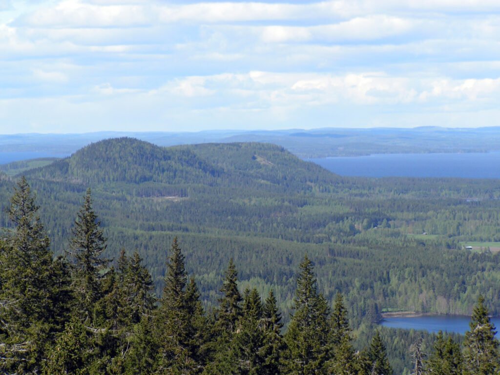
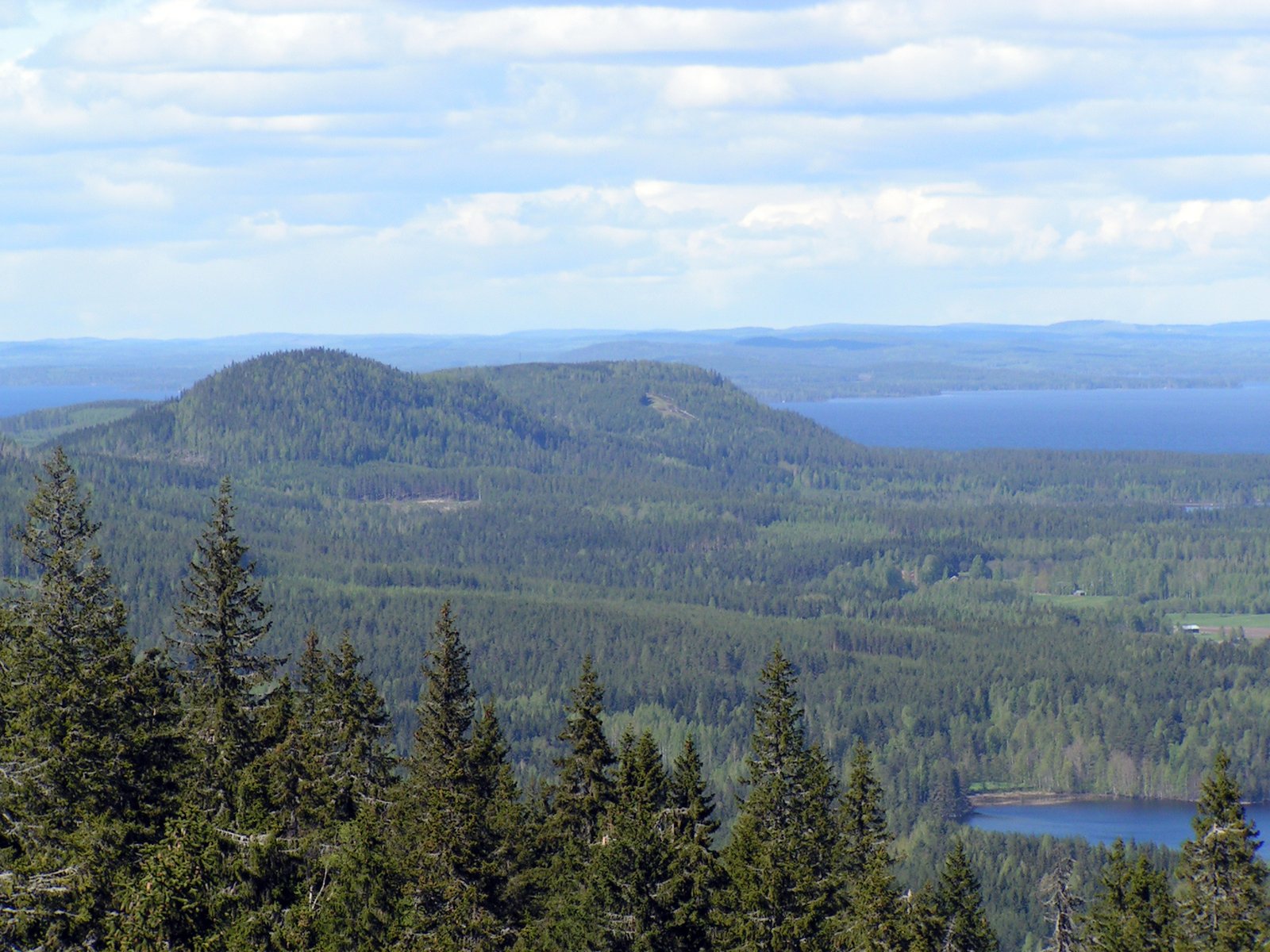
The view east over Pielinen that became a symbol
Photograph by Lobke Thijssen on Wikimedia Commons
About Koli National Park
Thirty square kilometres of forested hills above the western shore of Lake Pielinen, established as a park in 1991, but the ground has been worked and worshipped far longer, first as a pagan sacrificial site and later by slash-and-burn farmers. The park now conserves that agricultural inheritance deliberately: hay is cut every year, traditional Finnish cattle and sheep graze the meadows, and open fields are burn-beaten and mown to keep their flora. The summit of Ukko-Koli gives the view east over Pielinen that made the place a national symbol.
Watch