Southern Region Accessible walkingLake & waterwayVolcanic landscape
Kerið
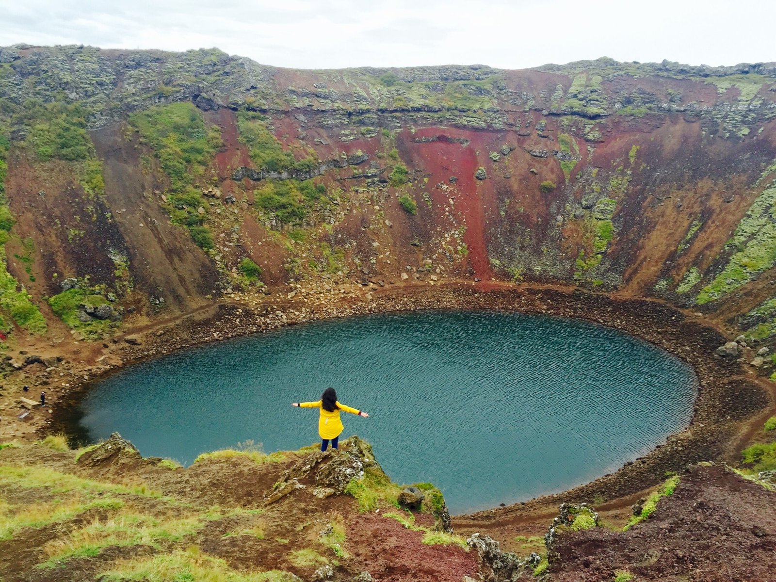
A maar crater with an aquamarine lake
Photograph by Scoundrelgeo on Wikimedia Commons
About Kerið
A volcanic crater lake in the Grímsnes area, the northernmost of four craters along an 800-metre fissure, and the one with its caldera most visibly intact. It is a maar, formed by explosion rather than collapse: elliptical, about fifty-five metres deep, 170 wide and 270 across, walled in basalt and scoria. Estimates of when it blew range from 6,420 to 9,000 years ago. Most of the wall is steep and bare, but one side slopes gently under deep moss and can be walked down. The shallow lake at the bottom runs aquamarine from minerals in the soil.
Watch
Read and plan
Nearby, across borders
Within 60 km as the crow flies, in any country.