North East England Heathland & moorHill walkingPrehistoric & archaeology
Hadrian’s Wall
Seventy-three miles across the whole island
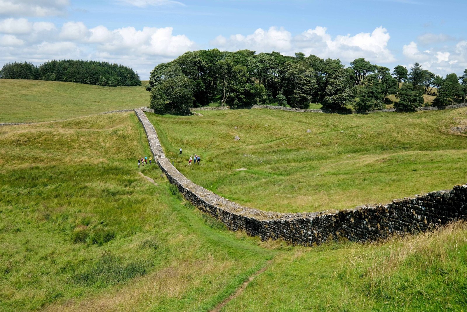
Photograph by Jeff Buck on Wikimedia Commons
About Hadrian’s Wall
Begun in AD 122 under Hadrian and running seventy-three miles from Wallsend on the Tyne to Bowness-on-Solway, a stone wall with deep ditches before and behind it, crossing the entire width of the island, garrisoned from large forts, smaller milecastles and turrets between them. Its gates may have worked as customs posts as much as defences. Almost all the standing masonry was carted off in early modern times for roads and farmhouses, so nothing stands at original height, but excavation has exposed much of the footings. It is the largest Roman feature in Britain.
Watch
Read and plan
Nearby, across borders
Within 60 km as the crow flies, in any country.