Eastern Region Accessible walkingForest & estateHistoric city
Egilsstaðir
East Iceland's centre, founded in 1947
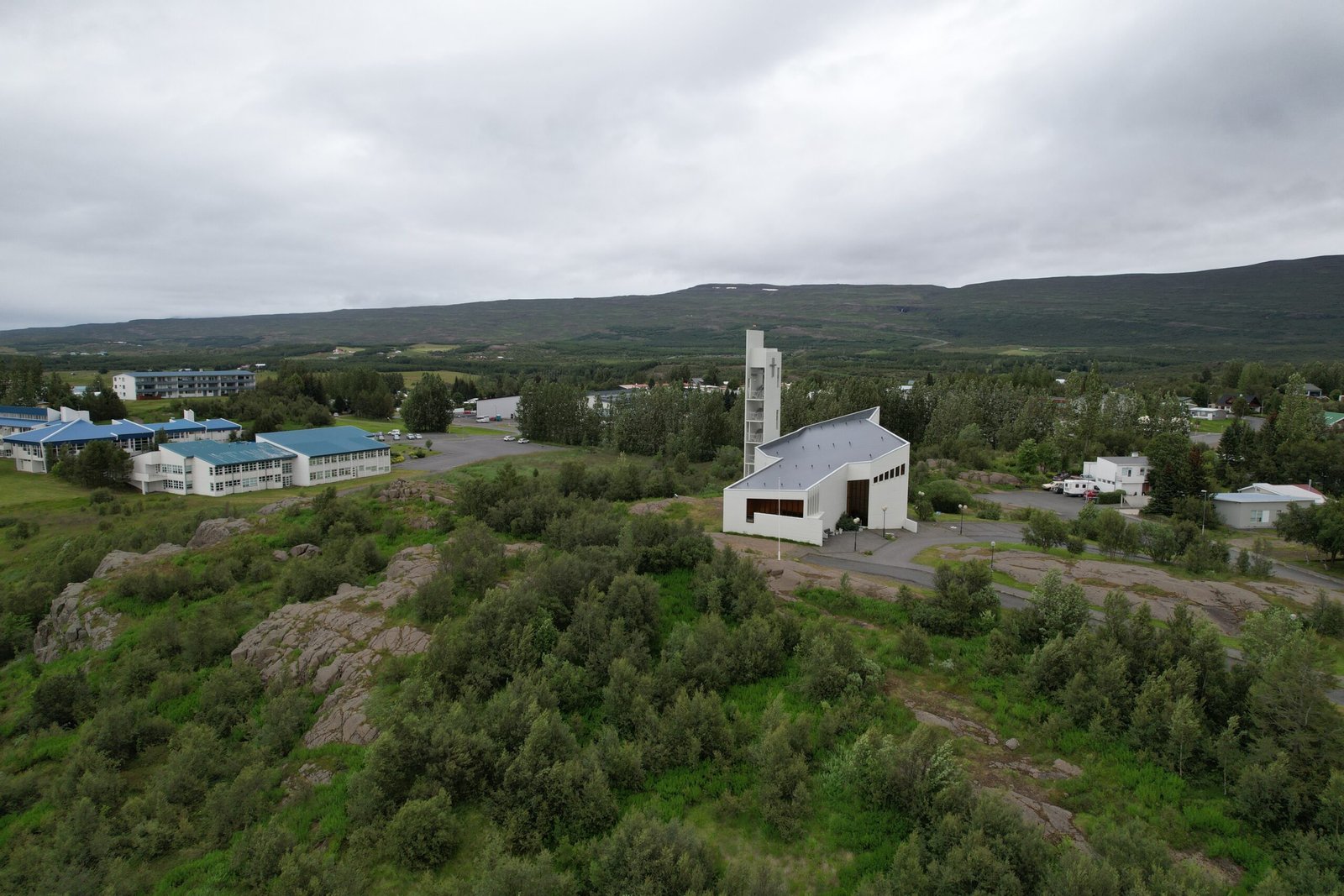
Photograph by Eysteinn Guðni Guðnason on Wikimedia Commons
About Egilsstaðir
The largest settlement in eastern Iceland, on the banks of the Lagarfljót near the bridge where all the region’s main roads meet, with 2,632 people as of 2024. It is a young town even by Icelandic standards, established in 1947 when the surrounding rural districts recognised that a service centre had formed there, and it is unusual in taking its name from a single farmstead rather than a landmark. It grew quickly through the boom of 2004 to 2008, on the back of the Kárahnjúkar hydropower scheme and the aluminium smelter at Reyðarfjörður, and slowed sharply after 2008.
Watch
Read and plan
Nearby, across borders
Within 60 km as the crow flies, in any country.