Provence-Alpes-Côte d'Azur Coastal & dune walkingHill walkingNational park
Calanques National Park
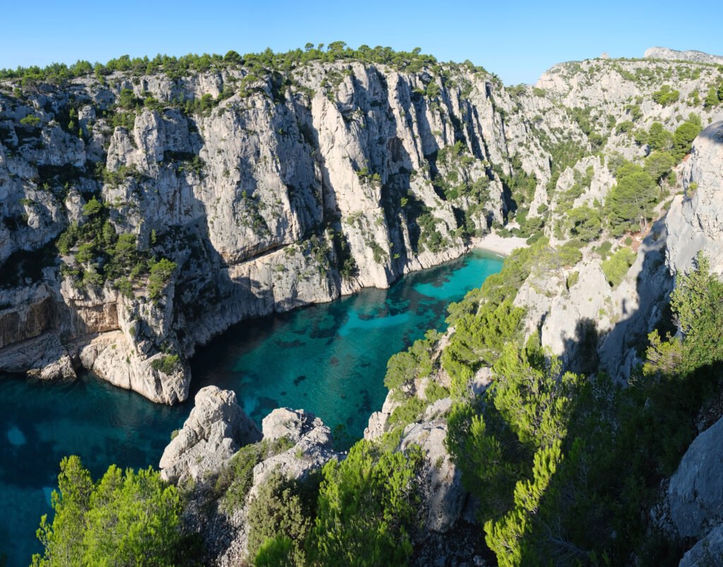
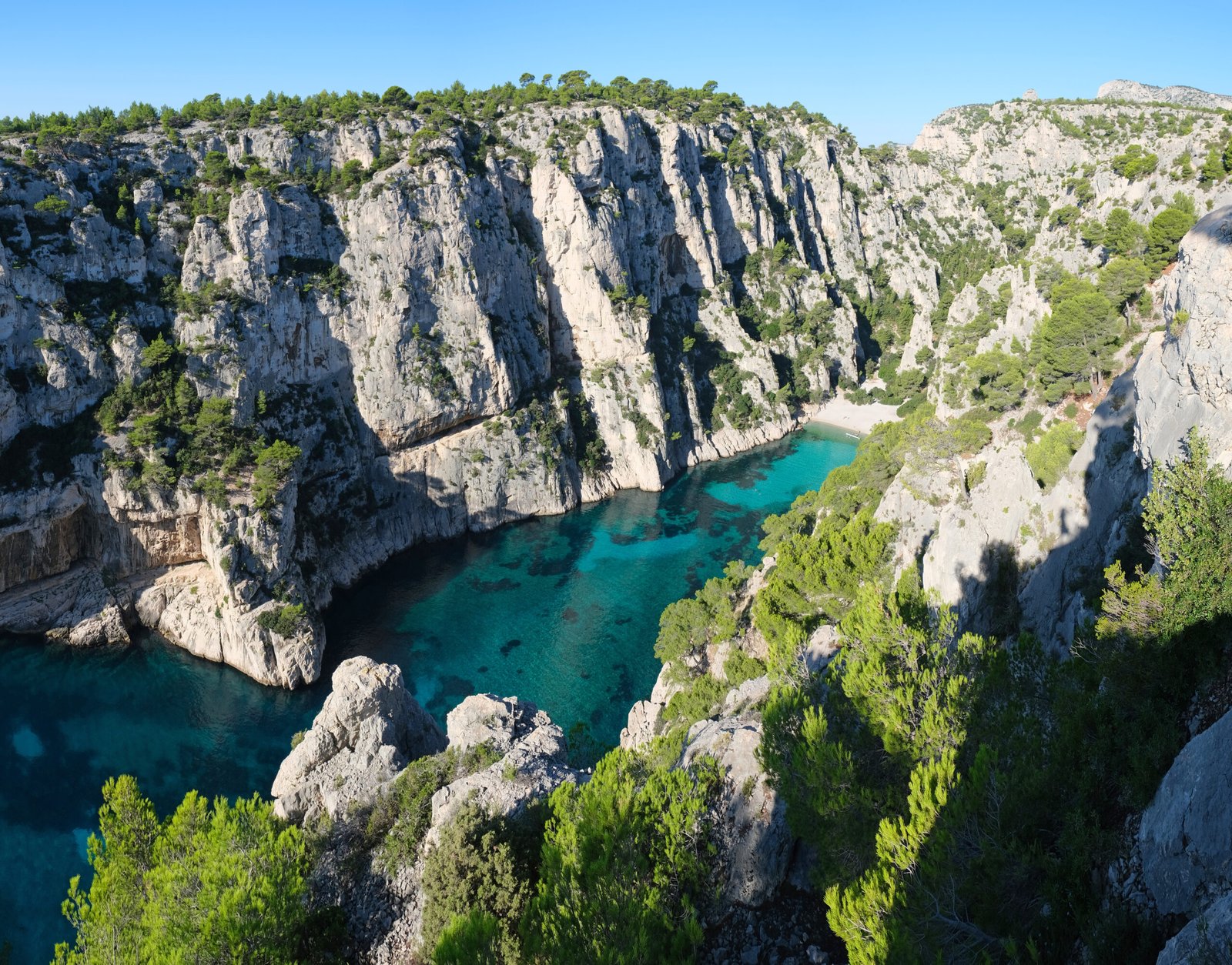
Limestone inlets dropping into the Mediterranean
Photograph by kallerna on Wikimedia Commons
About Calanques National Park
Calanques National Park runs along the Mediterranean coast in Bouches-du-Rhône, just west of the French Riviera, and was established in 2012. It covers 520 square kilometres, of which only 85 are land, the rest is sea. It takes in part of the Massif des Calanques between the southern arrondissements of Marseille, Cassis and La Ciotat. The calanques themselves are narrow limestone inlets dropping straight into clear water, reachable on foot or by boat but not by car. Fire risk closes the paths in high summer, so access is checked daily.
Watch