Wörthersee
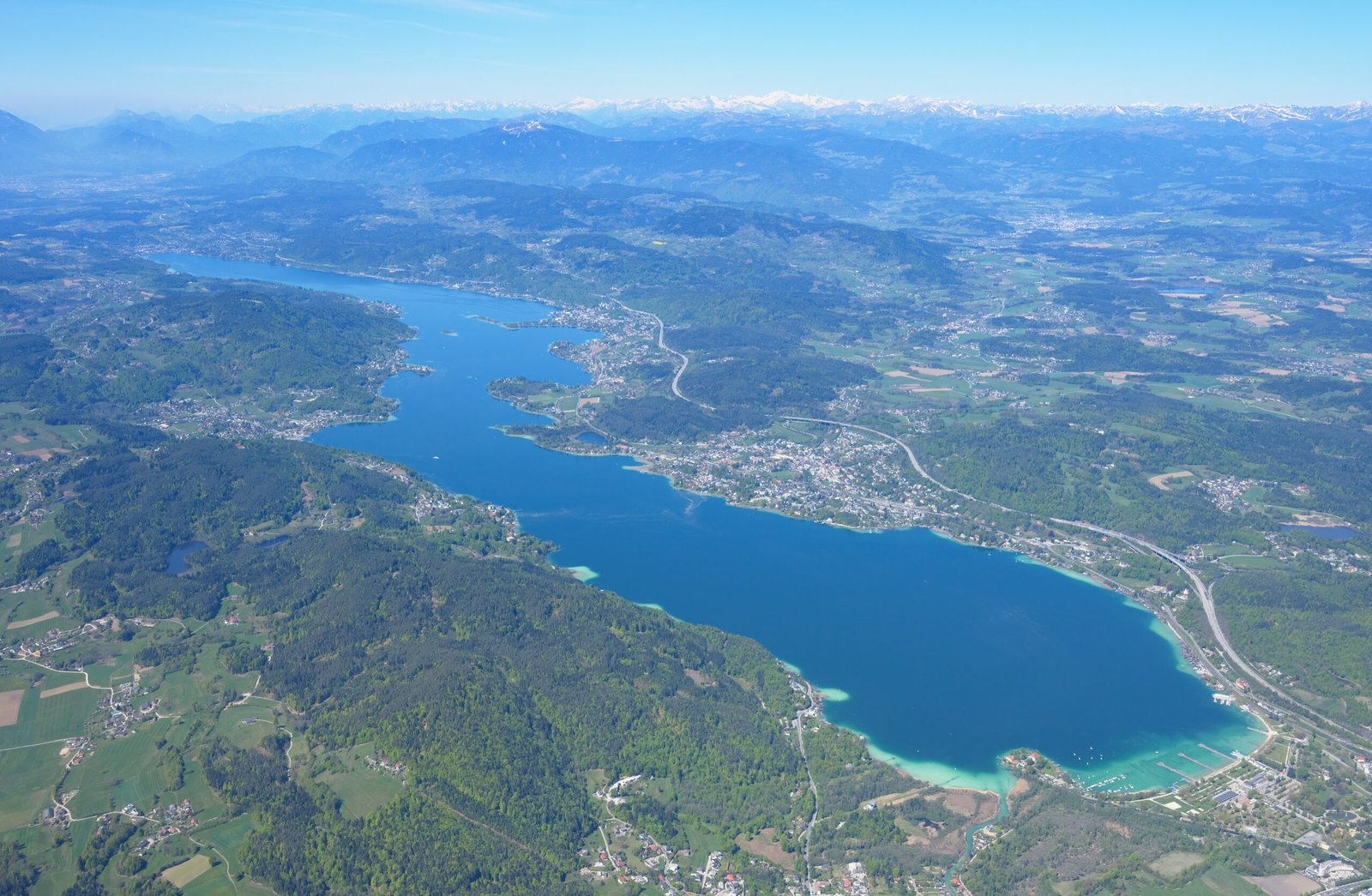
Carinthia's largest lake, in three basins
Photo de Carsten Steger sur Wikimedia Commons
Pas encore disponible en français. Affiché en anglais.
À propos de Wörthersee
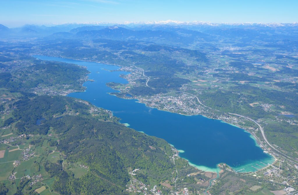
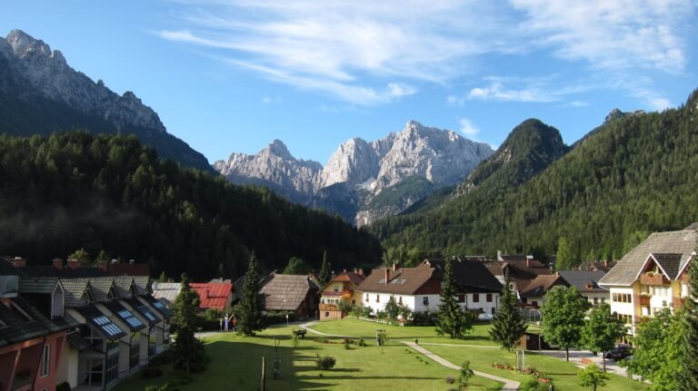
Carinthia’s largest lake, 16.5 kilometres long and 1.5 wide, running from the edge of Klagenfurt east to the bay of Velden in the west, lying in the Klagenfurt Basin with the forested foothills of the Gurktal Alps and the Karawanks on either side and snow-capped peaks beyond. The water is a distinctive transparent blue-green. Glaciers of the last ice age shaped both lake and basin, and islands and peninsulas divide it into three: the western basin from Velden to Pörtschach, the central to Maria Wörth, and the eastern on to Klagenfurt.
Regarder
Lire et planifier
À proximité, au-delà des frontières
À moins de 60 km de ce lieu, dans n'importe quel pays.
Plus calme à proximité
D'autres lieux d'un autre type à moins de 60 km.