Punkaharju
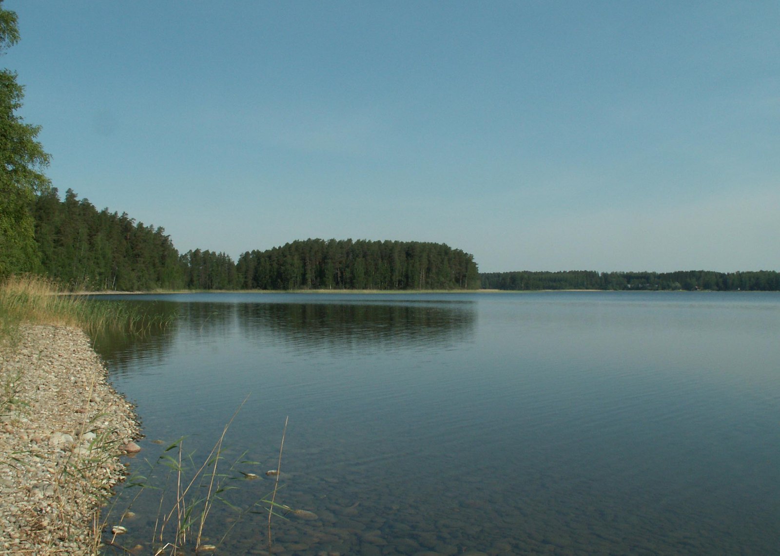
An esker ridge, and Finland's tallest pines
Photo de Jniemenmaa 10:17, 27 June 2006 (UTC) sur Wikimedia Commons
Pas encore disponible en français. Affiché en anglais.
À propos de Punkaharju
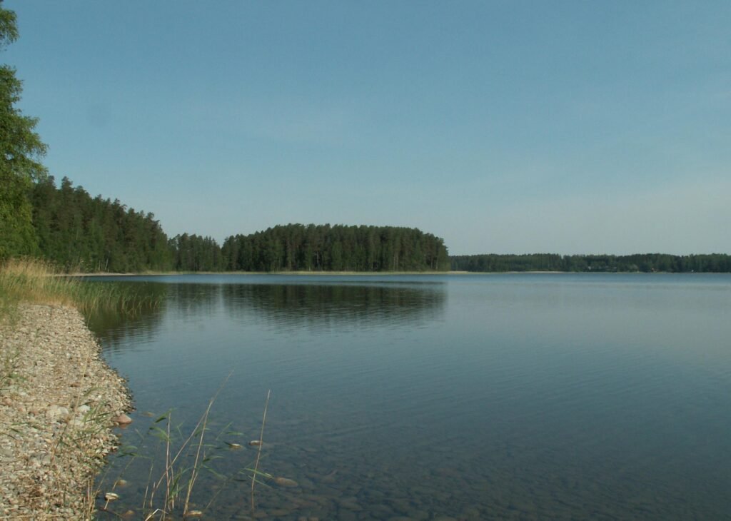
A ridge of pine-covered esker running between lakes, protected as a national reserve and long counted among the national landscapes of Finland. The Finnish Forest Museum Lusto and the Finnish Forest Research Institute are both here, and the research forest park is open to visitors, which is where some of the tallest trees in the country stand, pines reaching forty metres. Punkaharju was its own municipality until 1 January 2013, when it was consolidated into Savonlinna; the last count gave it 3,702 people across 748 square kilometres, a third of that water.
Regarder
Lire et planifier
À proximité, au-delà des frontières
À moins de 60 km de ce lieu, dans n'importe quel pays.