Møns Klint
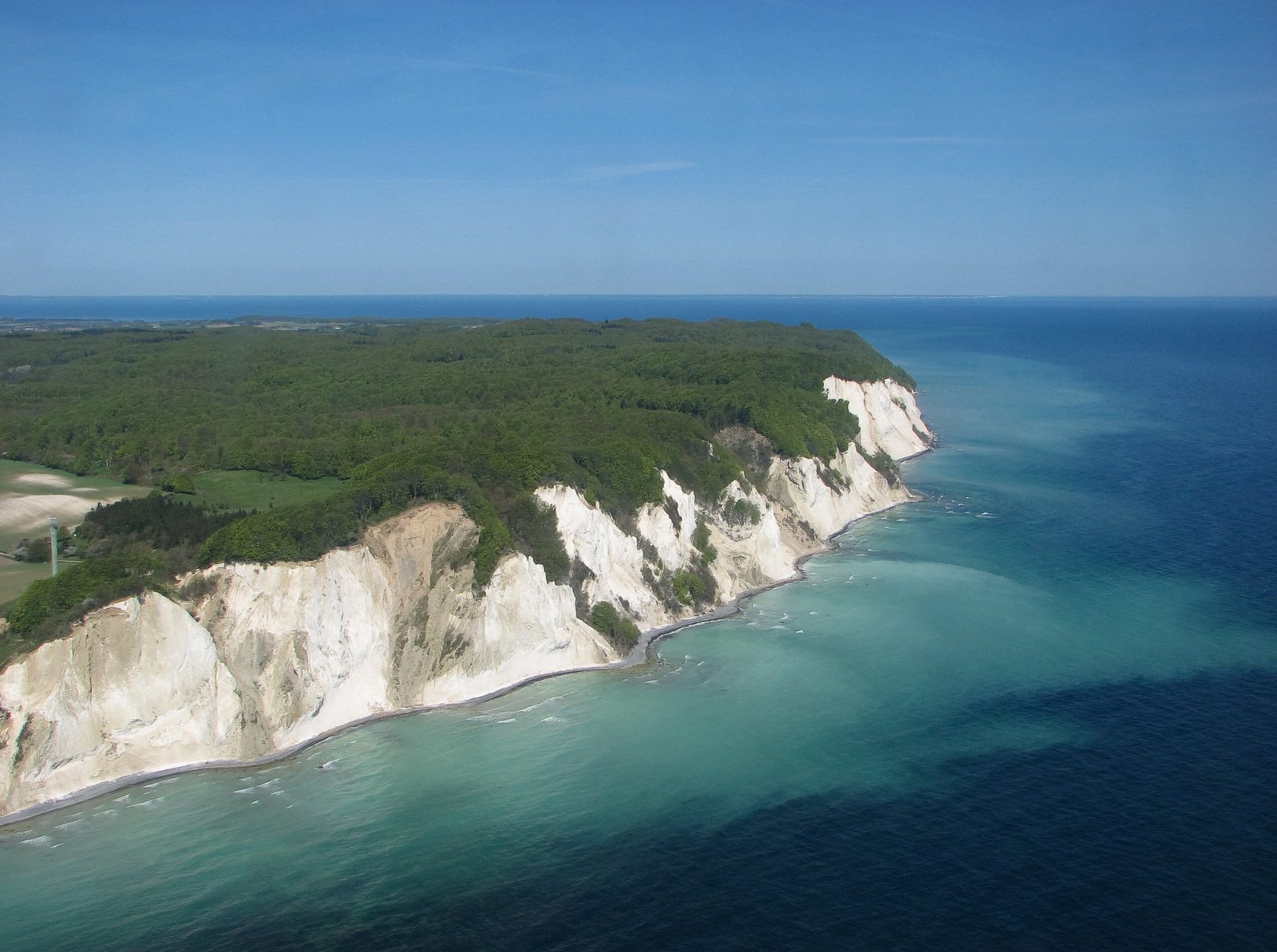
Chalk cliffs falling 120 metres to the Baltic
Photo de Bob Collowan sur Wikimedia Commons
Pas encore disponible en français. Affiché en anglais.
À propos de Møns Klint
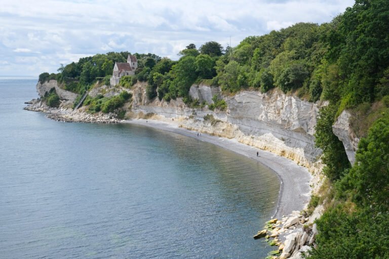
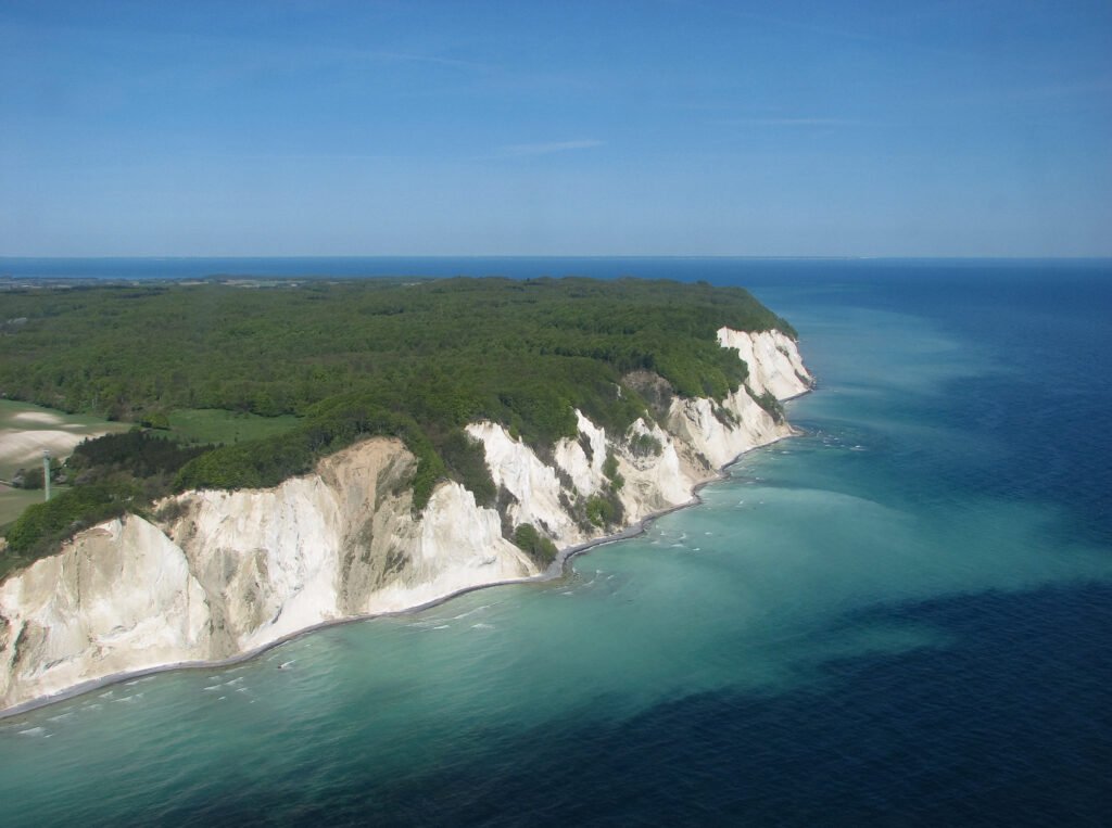
Six kilometres of chalk cliff along the eastern coast of Møn, some of it dropping a sheer 120 metres, with Dronningestolen highest at 128 metres above the sea. The chalk is the remains of shells from microscopic coccolithophores that lived on the seabed over seventy million years ago; glaciers pushing west compacted and folded the ground, and the cliffs emerged when the ice melted about 11,000 years ago. Erosion has not stopped, Sommerspiret fell into the sea in 1998, and a larger slide at Store Taler in 2007 pushed a 300-metre peninsula of chalk and fallen trees out below. UNESCO listed it in 2025.
Regarder
Lire et planifier
À proximité, au-delà des frontières
À moins de 60 km de ce lieu, dans n'importe quel pays.