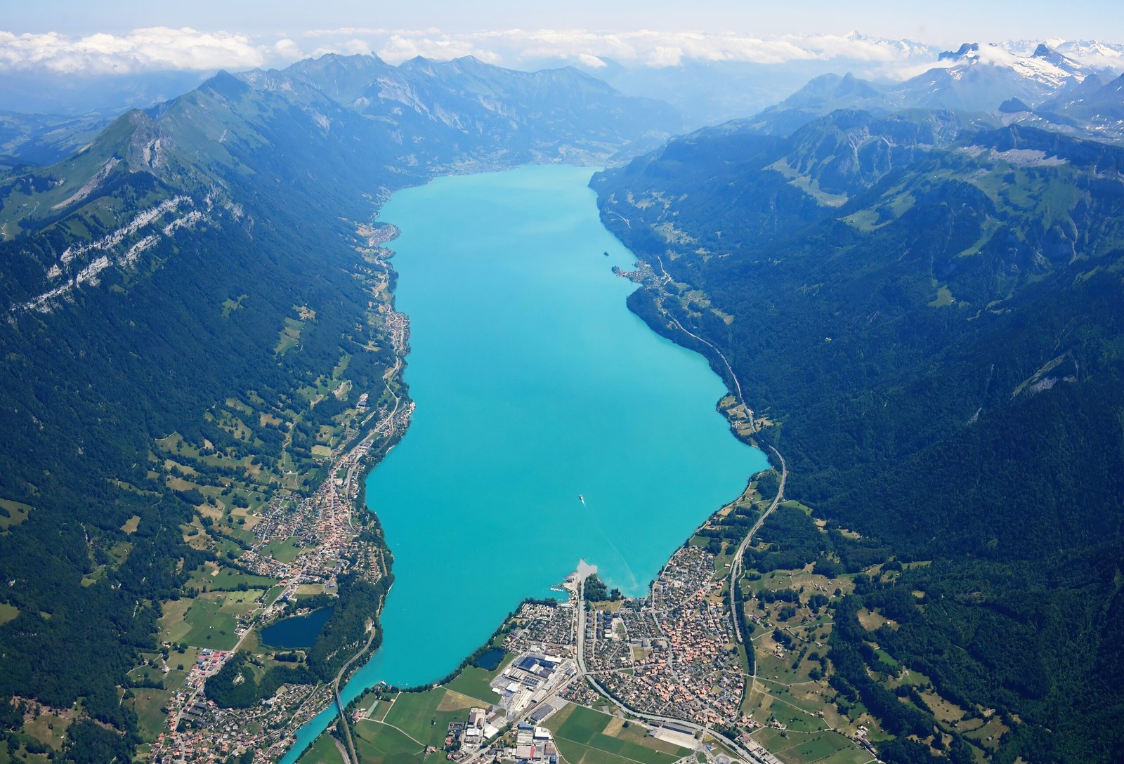
Lake Brienz
Fourteen kilometres, 260 metres deep
Photo de Carsten Steger sur Wikimedia Commons
Pas encore disponible en français. Affiché en anglais.
À propos de Lake Brienz
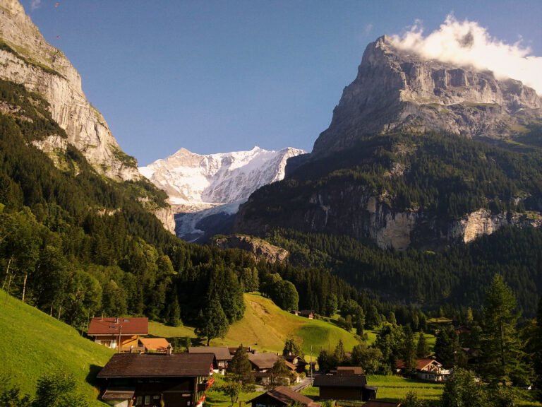
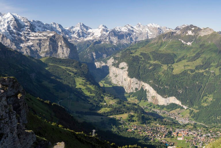
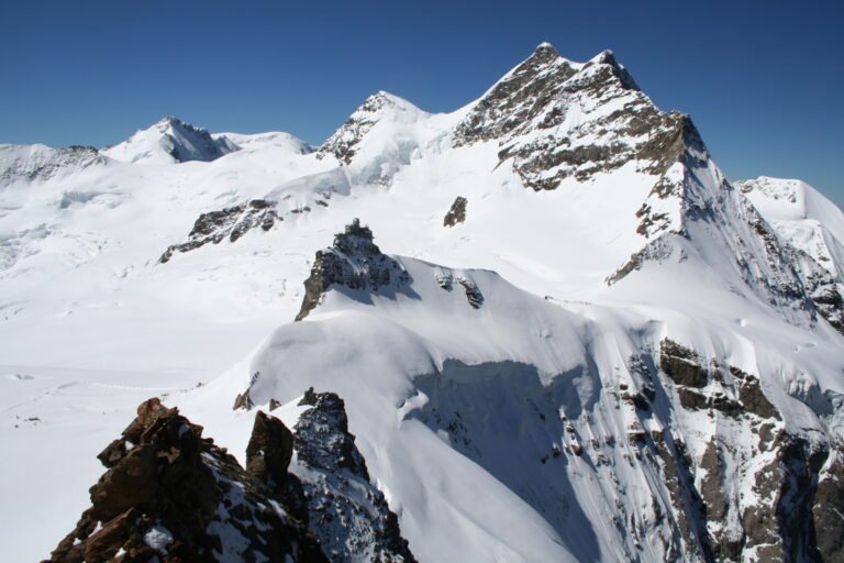
A lake fourteen kilometres long, 2.8 wide and 260 metres deep, sitting at 564 metres just north of the Alps. The upper Aare feeds it at the eastern end and the Giessbach comes down the southern shore from the steep forested slopes below the Faulhorn and Schwarzhoren, more than 2,000 metres above the water; both headwaters of the Lütschine enter at the southwestern corner, the Black from Grindelwald and the White from Lauterbrunnen. The high point of its whole drainage basin is the Finsteraarhorn, at 4,274 metres.
Regarder
Lire et planifier
À proximité, au-delà des frontières
À moins de 60 km de ce lieu, dans n'importe quel pays.
Plus calme à proximité
D'autres lieux d'un autre type à moins de 60 km.